Loading...
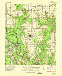
Loading map...1935 Map of Gillett
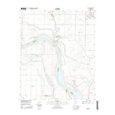
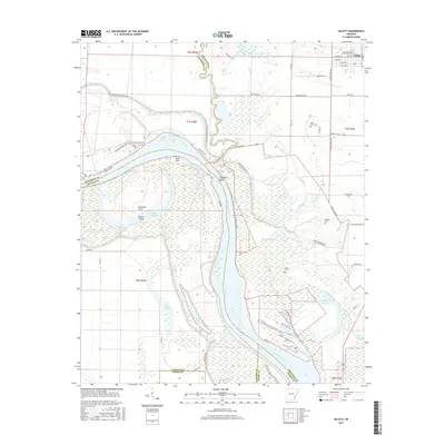
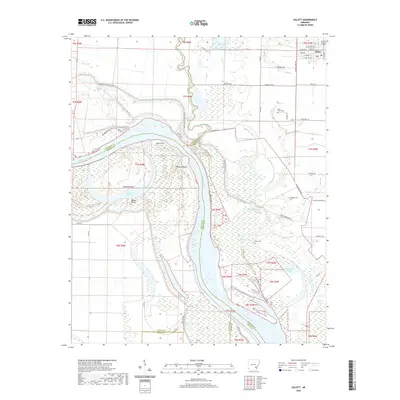
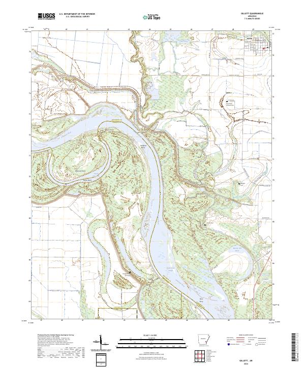
USGS Topo · Published 1953About this map
The St Louis Southwestern Ry cuts through the heart of Arkansas County, connecting the agricultural hub of Gillett with outlying settlements like Buffo and Hyden. This mid-1930s landscape is defined by the shifting course of the Arkansas River, which is flanked by complex bayous and abandoned meanders such as Moody Old River and Pecan Lake. The map reveals a densely settled rural society where community life centered on numerous family and local institutions, including the Prairie Union Ch & Sch and Ruffin Ch & Sch.
Find a feature on this map
70 named features on this map. Tap any name to fly to it.
Don’t see what you’re looking for? This feature index may not catch every label — zoom into the map to look around manually.
Map Details
Date Portrayed1935
Date Published1953
PublisherU.S. Geological Survey
Map TypeTopographic
Scale1:62,500
Physical Dimensions17.9 x 21.7 inches
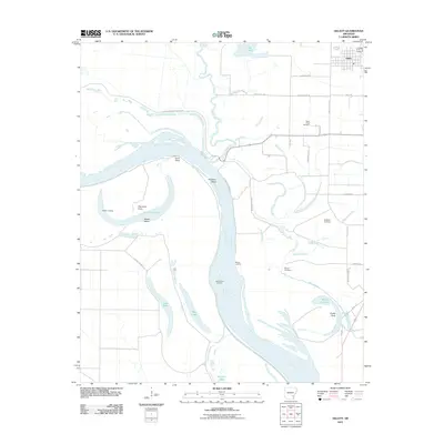
Editions of this 1935 Gillett Map
2 editions found
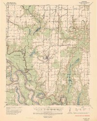
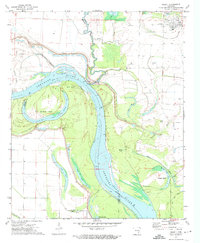
Historical Maps of Gillett Through Time
7 maps found
Featured Locations
Source Details
SourceU.S. Geological Survey
CopyrightPublic Domain