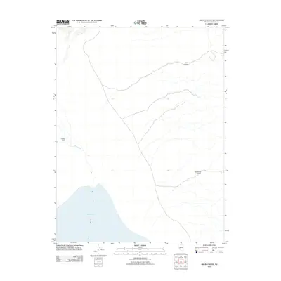
2011 Map of Gillis Canyon
USGS Topo · Published 2011About this map
Walker Lake dominates the southwestern corner of this desert landscape in Mineral County, Nevada. The shoreline at Pelican Point and the terminus of the Walker River provide clear markers of the hydrological state during the early 21st century. The map details the drainage patterns of the high desert, where topographic relief is defined by the carved paths of Gillis Canyon in the north and Wildhorse Canyon to the south. This 2011 survey serves as a precise record of the Great Basin's arid terrain, capturing the sparse network of roads and the distinct geological features that define this part of the Nevada interior.
Find a feature on this map
5 named features on this map. Tap any name to fly to it.
Don’t see what you’re looking for? This feature index may not catch every label — zoom into the map to look around manually.
Map Details
Editions of this 2011 Gillis Canyon Map
This is the sole edition of this map. No revisions or reprints were ever made.
Other maps of this area

1909 · Hawthorne
USGS Topo · 1:250,000

1911 · Hawthorne
USGS Topo · 1:250,000

1915 · Hawthorne
USGS Topo · 1:250,000

1948 · Walker Lake
USGS Topo · 1:250,000

1955 · Hawthorne
USGS Topo · 1:62,500

1956 · Mt. Grant
USGS Topo · 1:62,500

1957 · Walker Lake
USGS Topo · 1:250,000

1962 · Walker Lake
USGS Topo · 1:250,000

1964 · Walker Lake
USGS Topo · 1:250,000

1964 · Gillis Canyon
USGS Topo · 1:62,500