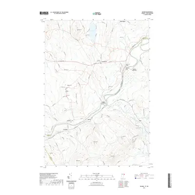
2021 Map of Gilman
USGS Topo · Published 2021About this map
The Connecticut River serves as the winding centerpiece of this modern survey, defining the border between Vermont and New Hampshire as it passes through several riverfront settlements. The village of Gilman sits at a narrow point in the river valley, while South Lunenburg and South Lancaster occupy higher ground nearby. To the south, the landscape rises sharply toward the peaks of Dalton Mtn and Beede Mtn, contrasting with the more accessible valley floors where older roads like W Lunenburg Rd and Lancaster Rd connect rural farmsteads. Local history is deeply rooted in the land here, evidenced by several well-maintained burial grounds including Baptist Hill Cem and Riverside Cem. The northern portion of the map is dominated by the waters of Neal Pond and the high ground of Baldwin Hill, reflecting a terrain that balances small-town centers with substantial forest and water resources.
Find a feature on this map
108 named features on this map. Tap any name to fly to it.
Don’t see what you’re looking for? This feature index may not catch every label — zoom into the map to look around manually.
Map Details
Editions of this 2021 Gilman Map
This is the sole edition of this map. No revisions or reprints were ever made.
Other maps of this area

1900 · Whitefield
USGS Topo · 1:62,500

1920 · Guildhall
USGS Topo · 1:62,500

1931 · Guildhall
USGS Topo · 1:48,000

1931 · Littleton
USGS Topo · 1:62,500

1932 · Littleton
USGS Topo · 1:48,000

1933 · Guildhall
USGS Topo · 1:48,000

1935 · Littleton
USGS Topo · 1:62,500

1935 · Whitefield
USGS Topo · 1:48,000

1937 · Guildhall
USGS Topo · 1:62,500

1938 · Whitefield
USGS Topo · 1:62,500