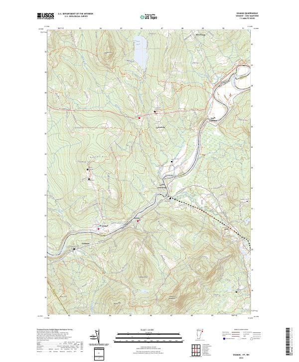
2024 Map of Gilman
USGS Topo · Published 2024About this map
The Connecticut River serves as the primary physical and political boundary in this region, winding through the valley that separates Lunenburg and Gilman in Vermont from New Hampshire river towns like Dalton and South Lancaster. The settlement pattern follows the river's path, with smaller hamlets such as South Lunenburg and Cushman established near the water's edge. Further inland, the terrain rises significantly toward Baldwin Hill and Baptist Hill, where the land use shifts toward recreation at Neal Pond and forest management.
Find a feature on this map
101 named features on this map. Tap any name to fly to it.
Don’t see what you’re looking for? This feature index may not catch every label — zoom into the map to look around manually.
Map Details
Editions of this 2024 Gilman Map
This is the sole edition of this map. No revisions or reprints were ever made.
Other maps of this area

1900 · Whitefield
USGS Topo · 1:62,500

1920 · Guildhall
USGS Topo · 1:62,500

1931 · Guildhall
USGS Topo · 1:48,000

1931 · Littleton
USGS Topo · 1:62,500

1932 · Littleton
USGS Topo · 1:48,000

1933 · Guildhall
USGS Topo · 1:48,000

1935 · Littleton
USGS Topo · 1:62,500

1935 · Whitefield
USGS Topo · 1:48,000

1937 · Guildhall
USGS Topo · 1:62,500

1938 · Whitefield
USGS Topo · 1:62,500