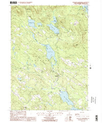
1987 Map of Gilmanton Ironworks
USGS Topo · Published 1987About this map
Gilmanton Ironworks serves as a focal point for this survey of eastern New Hampshire, where the village is situated along the Suncook River. The landscape is defined by its significant water bodies, including the central Crystal Lake and the connected reaches of Upper Suncook Lake and Lower Suncook Lake. To the north, the terrain rises toward the Belknap Mtn State Forest and the peaks of Goat Pasture Hill and Avery Hill. Local recreation and community life are marked by the presence of Camp Fatima and Camp Leo, while smaller settlements like Lower Gilmanton appear to the south. Notable hydraulic features such as a Masonry Dam and Spillway near Sunset Lake indicate the managed nature of the regional waterways. This 1980s data provides a clear view of the rural residential and lakeside development patterns across the Gilmanton, Alton, and Barnstead town lines.
Find a feature on this map
41 named features on this map. Tap any name to fly to it.
Don’t see what you’re looking for? This feature index may not catch every label — zoom into the map to look around manually.
Map Details
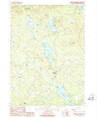
Editions of this 1987 Gilmanton Ironworks Map
2 editions found
Other maps of this area

1909 · Winnepesaukee
USGS Topo · 1:62,500

1919 · Gilmanton
USGS Topo · 1:62,500

1919 · Alton
USGS Topo · 1:62,500

1927 · Gilmanton
USGS Topo · 1:62,500

1928 · Wolfeboro
USGS Topo · 1:62,500

1949 · Portland
USGS Topo · 1:250,000

1956 · Winnipesaukee
USGS Topo · 1:62,500

1956 · Portland
USGS Topo · 1:250,000

1957 · Alton
USGS Topo · 1:62,500
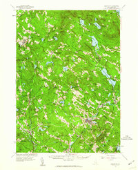
1957 · Gilmanton
USGS Topo · 1:62,500