
1956 Map of Winnipesaukee
USGS Topo · Published 1958About this map
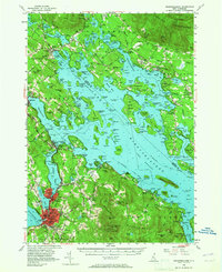
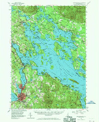
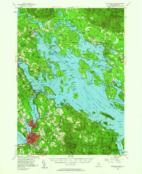
Lake Winnipesaukee dominates this mid-century survey, its expansive waters including The Broads and complex inlets like Moultonboro Bay and Paugus Bay. The landscape is a study in recreational and industrial utility, where the tracks of the Boston and Maine RR skirt the shorelines of Laconia and Meredith. Local history is preserved in the numerous family and community burial grounds, such as Red Hill Cem and Shannon Cem, and the presence of institutions like the La Salette Sch. High elevations in the Ossipee Mountains and Belknap Mountains frame the lake, with Belknap State Reservation marking early conservation efforts. This era captures the region as a primary aviation and transport hub for central New Hampshire, anchored by the Laconia Airport and the transition from traditional lake commerce at Union Wharf to modern road travel along State 25.
Find a feature on this map
64 named features on this map. Tap any name to fly to it.
Don’t see what you’re looking for? This feature index may not catch every label — zoom into the map to look around manually.
Map Details
Editions of this 1956 Winnipesaukee Map
4 editions found
Other maps of this area

1909 · Winnepesaukee
USGS Topo · 1:62,500

1919 · Gilmanton
USGS Topo · 1:62,500

1919 · Alton
USGS Topo · 1:62,500

1925 · Holderness
USGS Topo · 1:62,500

1927 · Penacook
USGS Topo · 1:62,500

1927 · Gilmanton
USGS Topo · 1:62,500

1927 · Holderness
USGS Topo · 1:62,500

1928 · Wolfeboro
USGS Topo · 1:62,500

1928 · Plymouth
USGS Topo · 1:62,500

1930 · Ossipee Lake
USGS Topo · 1:62,500