
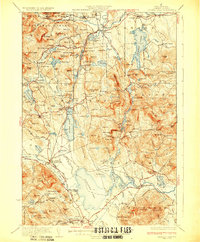
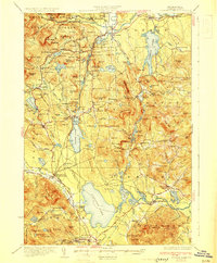
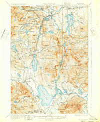
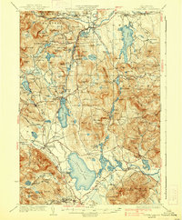
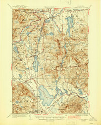
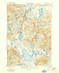
1930 Map of Ossipee Lake
USGS Topo · Published 1930About this map
White Mountain National Forest dominates the northern reaches of this Carroll County landscape, where the Saco River and Swift River cut through the granite uplands of Albany and Conway. The 1930 survey highlights a transition between the recreation-focused north, featuring landmarks like the Clement Inn and the massive glacial erratic Madison Boulder, and the lake-driven economy further south. Silver Lake and Ossipee Lake serve as focal points for settlements such as Madison and Moultonville, while the Boston and Maine Railroad provides vital connections via West Ossipee Mt Whittier Sta. The map records a dense network of local education and faith, from the Center Ossipee Mountain View Sch to the remote Mountain Ch, alongside industry at Lords Mill.
Find a feature on this map
150 named features on this map. Tap any name to fly to it.
Don’t see what you’re looking for? This feature index may not catch every label — zoom into the map to look around manually.
Map Details
Editions of this 1930 Ossipee Lake Map
8 editions found

Other maps of this area

1891 · Newfield
USGS Topo · 1:62,500

1893 · Newfield
USGS Topo · 1:62,500

1894 · North Conway
USGS Topo · 1:62,500

1895 · Crawford Notch
USGS Topo · 1:62,500

1896 · Crawford Notch
USGS Topo · 1:62,500

1896 · North Conway
USGS Topo · 1:62,500

1909 · Winnepesaukee
USGS Topo · 1:62,500

1909 · Fryeburg
USGS Topo · 1:62,500

1910 · Kezar Falls
USGS Topo · 1:48,000

1911 · Fryeburg
USGS Topo · 1:62,500