
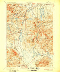
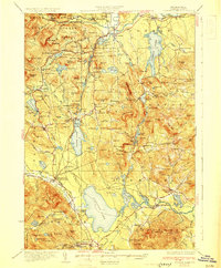
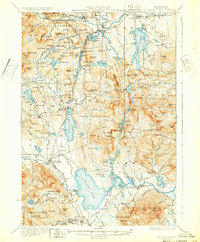
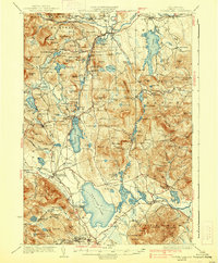
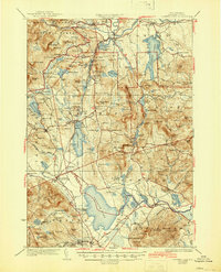
1930 Map of Ossipee Lake
USGS Topo · Published 1948About this map
The Boston and Maine Railroad defines the industrial and social backbone of this New Hampshire corridor, connecting a series of dual-named depots such as Silver Lake Madison Sta and Center Ossipee Mountain View Sta. These stations served as vital links for both the local logging economy and the burgeoning seasonal tourism of the era, anchored by landmarks like the Chocorua Inn and Nickerson Lodge. The landscape is a complex network of glacial ponds and granite heights, dominated by the White Mountain National Forest in the north and the expansive Ossipee Lake to the south.
Find a feature on this map
143 named features on this map. Tap any name to fly to it.
Don’t see what you’re looking for? This feature index may not catch every label — zoom into the map to look around manually.
Map Details
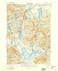
Editions of this 1930 Ossipee Lake Map
8 editions found

Other maps of this area

1891 · Newfield
USGS Topo · 1:62,500

1893 · Newfield
USGS Topo · 1:62,500

1894 · North Conway
USGS Topo · 1:62,500

1895 · Crawford Notch
USGS Topo · 1:62,500

1896 · Crawford Notch
USGS Topo · 1:62,500

1896 · North Conway
USGS Topo · 1:62,500

1909 · Winnepesaukee
USGS Topo · 1:62,500

1909 · Fryeburg
USGS Topo · 1:62,500

1910 · Kezar Falls
USGS Topo · 1:48,000

1911 · Fryeburg
USGS Topo · 1:62,500