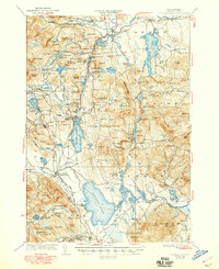
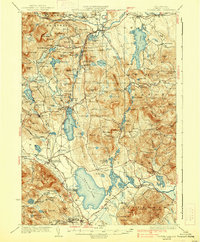
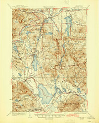
1930 Map of Ossipee Lake
USGS Topo · Published 1948About this map
Silver Lake and the surrounding glacial terrain of Carroll County dominate this pre-war survey, captured before mid-century development altered the landscape. The geography is defined by the Boston And Maine railroad line, which served key hubs such as West Ossipee Mt Whittier Sta and Ossipee Valley Lakewood Sta. For local historians, the map preserves the locations of numerous district schools, including the Sidehill Sch, Downs Sch, and Lords Mill Sch, alongside the prominent Madison Boulder and the Davis Meetinghouse in the southern reaches.
Find a feature on this map
185 named features on this map. Tap any name to fly to it.
Don’t see what you’re looking for? This feature index may not catch every label — zoom into the map to look around manually.
Map Details
Editions of this 1930 Ossipee Lake Map
8 editions found


Other maps of this area

1891 · Newfield
USGS Topo · 1:62,500

1893 · Newfield
USGS Topo · 1:62,500

1894 · North Conway
USGS Topo · 1:62,500

1895 · Crawford Notch
USGS Topo · 1:62,500

1896 · Crawford Notch
USGS Topo · 1:62,500

1896 · North Conway
USGS Topo · 1:62,500

1909 · Winnepesaukee
USGS Topo · 1:62,500

1909 · Fryeburg
USGS Topo · 1:62,500

1910 · Kezar Falls
USGS Topo · 1:48,000

1911 · Fryeburg
USGS Topo · 1:62,500