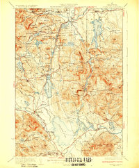
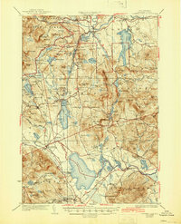
1930 Map of Ossipee Lake
USGS Topo · Published 1930About this map
The Saco River and Swift River valleys define this landscape on the edge of the White Mountain National Forest, where 1920s tourism and timber industry intersect. The map documents a dense network of mountain communities and rail stops, including Albany Cem and the Mountain Ch, alongside specialized landmarks like the massive Madison Boulder. Settlement patterns follow the Maine Central and Boston and Maine corridors, linking resorts like the Chocorua Inn and Clement Inn to regional hubs. Significant for genealogists, the sheet preserves the locations of numerous district schools, from the Woodchuck Ledge Sch to the Sidehill Sch, and established gathering places like the Davis Meetinghouse near the southern border. The transition from industrial rail stops at Albany Siding to the established village of Effingham Falls illustrates the varied economic character of the region during this era.
Find a feature on this map
135 named features on this map. Tap any name to fly to it.
Don’t see what you’re looking for? This feature index may not catch every label — zoom into the map to look around manually.
Map Details
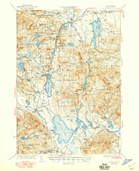
Editions of this 1930 Ossipee Lake Map
8 editions found


Other maps of this area

1891 · Newfield
USGS Topo · 1:62,500

1893 · Newfield
USGS Topo · 1:62,500

1894 · North Conway
USGS Topo · 1:62,500

1895 · Crawford Notch
USGS Topo · 1:62,500

1896 · Crawford Notch
USGS Topo · 1:62,500

1896 · North Conway
USGS Topo · 1:62,500

1909 · Winnepesaukee
USGS Topo · 1:62,500

1909 · Fryeburg
USGS Topo · 1:62,500

1910 · Kezar Falls
USGS Topo · 1:48,000

1911 · Fryeburg
USGS Topo · 1:62,500