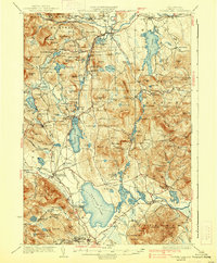
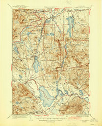
1930 Map of Ossipee Lake
USGS Topo · Published 1938About this map
The Saco River and Swift River dominate the northern landscape of Carroll County, flowing through the eastern reaches of the White Mountain National Forest. This 1920s survey depicts a region defined by its glacial legacy, most notably the Madison Boulder and a dense network of water bodies including Conway Lake and Ossipee Lake. The industrial and social life of the era is anchored by the Boston and Maine RR, with numerous small stations like Mt Whittier Sta and Madison Sta serving as vital nodes for local commerce and timber transport.
Find a feature on this map
158 named features on this map. Tap any name to fly to it.
Don’t see what you’re looking for? This feature index may not catch every label — zoom into the map to look around manually.
Map Details
Editions of this 1930 Ossipee Lake Map
8 editions found


Other maps of this area

1891 · Newfield
USGS Topo · 1:62,500

1893 · Newfield
USGS Topo · 1:62,500

1894 · North Conway
USGS Topo · 1:62,500

1895 · Crawford Notch
USGS Topo · 1:62,500

1896 · Crawford Notch
USGS Topo · 1:62,500

1896 · North Conway
USGS Topo · 1:62,500

1909 · Winnepesaukee
USGS Topo · 1:62,500

1909 · Fryeburg
USGS Topo · 1:62,500

1910 · Kezar Falls
USGS Topo · 1:48,000

1911 · Fryeburg
USGS Topo · 1:62,500