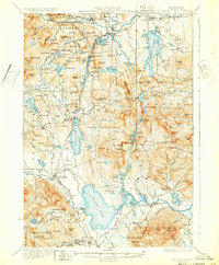
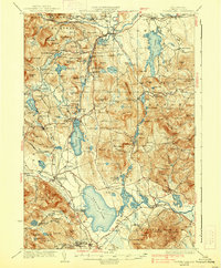
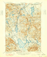
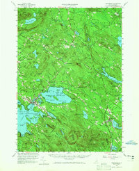
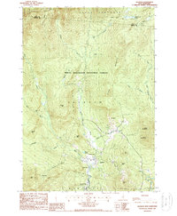
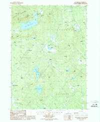
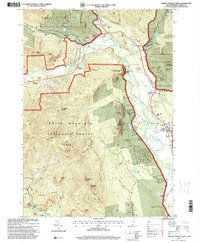
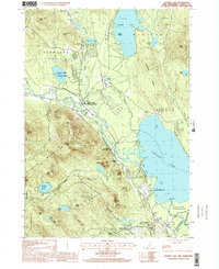
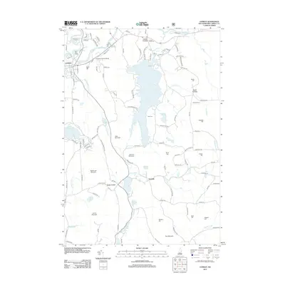
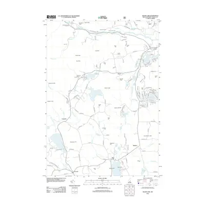
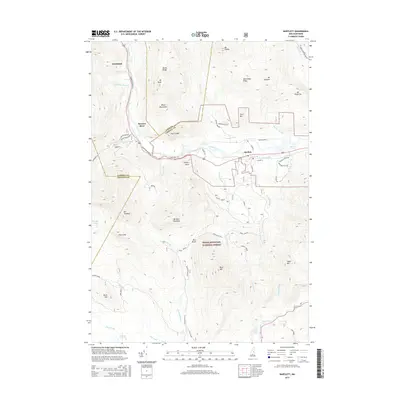
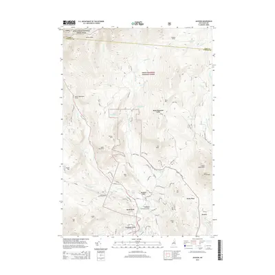
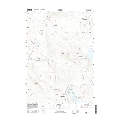
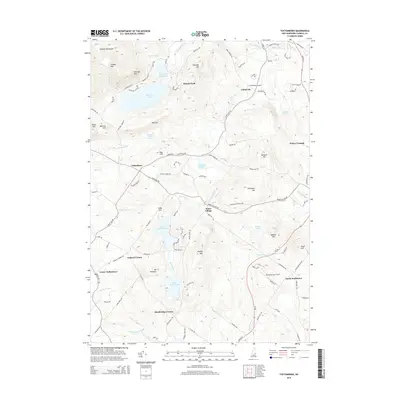
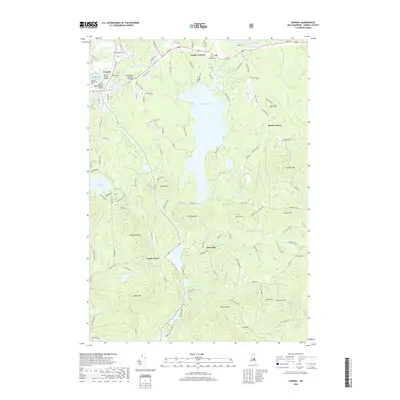
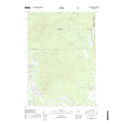
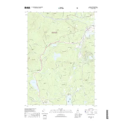
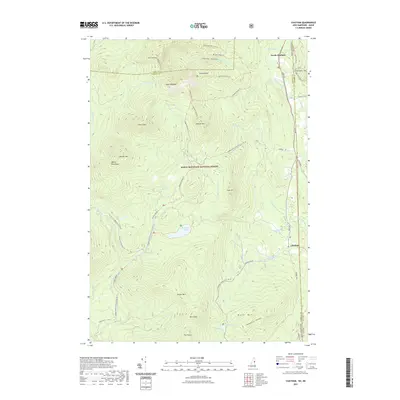
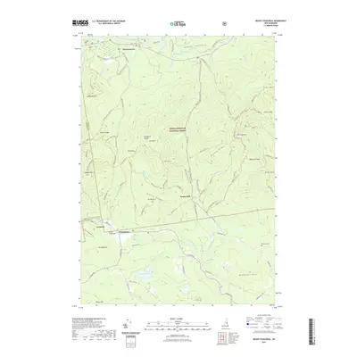
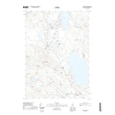
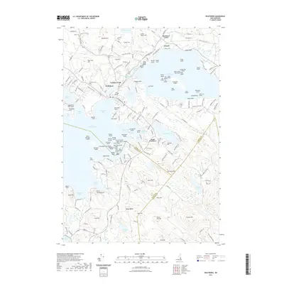
1930 Map of Ossipee Lake
USGS Topo · Published 1932About this map
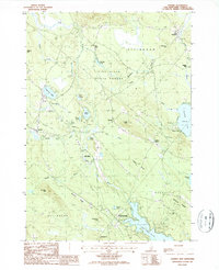
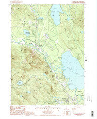
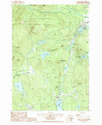
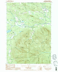
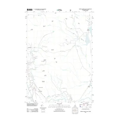
White Mountain National Forest dominates the northwest corner of this Carroll County landscape, where the Saco River and Swift River converge near Conway. The region's early 20th-century character is defined by its recreation and transit corridors, featuring lakeside destinations like the Chocorua Inn and Pequawket Camp alongside active industrial arteries. The Boston and Maine Railroad serves a string of depots including Silver Lake Madison Sta and West Ossipee Mt Whittier Sta, while the Maine Central Railroad skirts the northern boundary.
Find a feature on this map
198 named features on this map. Tap any name to fly to it.
Don’t see what you’re looking for? This feature index may not catch every label — zoom into the map to look around manually.
Map Details
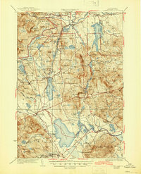
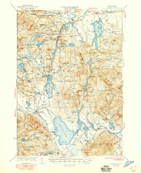
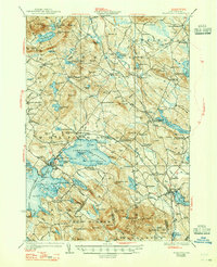
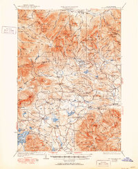
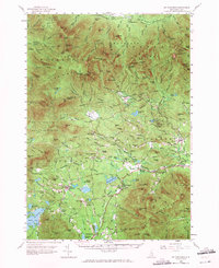
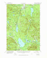
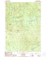
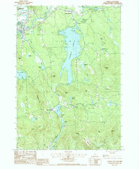
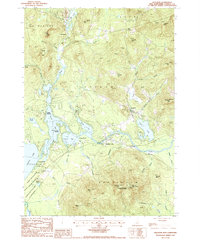
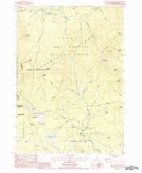
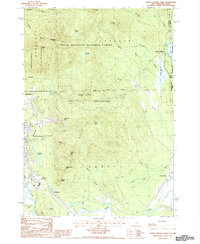
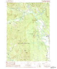
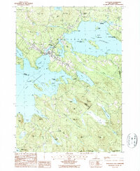
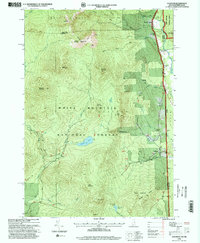
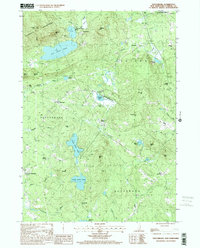
Editions of this 1930 Ossipee Lake Map
8 editions found
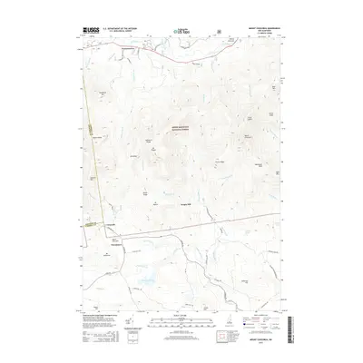
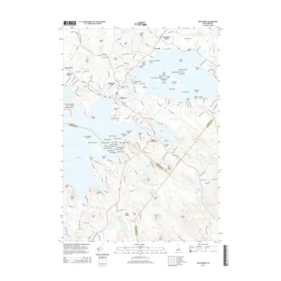
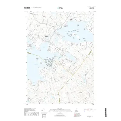
Historical Maps of Moultonborough Through Time
102 maps found
1928 Wolfeboro
Carroll County, NH
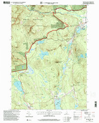
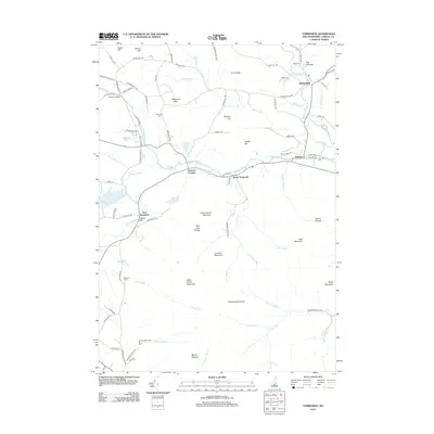
1930 Ossipee Lake
Carroll County, NH
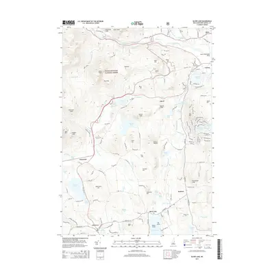
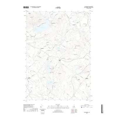
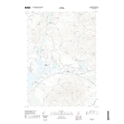
1931 Mt. Chocorua
Carroll County, NH
1958 Mt. Chocorua
Carroll County, NH
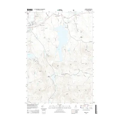
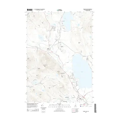
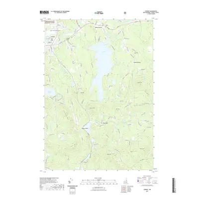
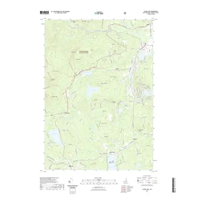
1958 Ossipee Lake
Carroll County, NH
1958 Wolfeboro
Carroll County, NH
1987 Bartlett
Carroll County, NH

1987 Chatham
Carroll County, NH
1987 Conway
Carroll County, NH
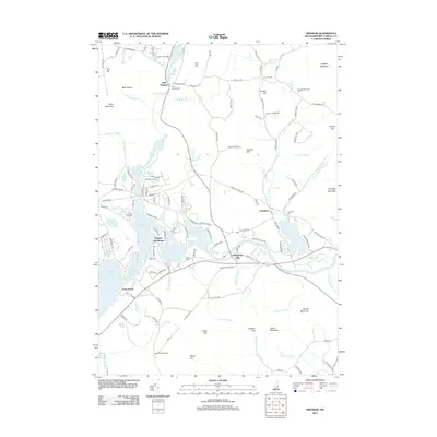
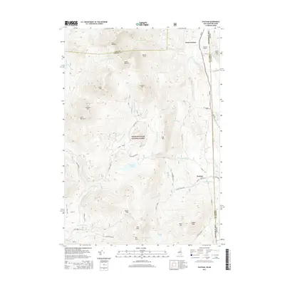
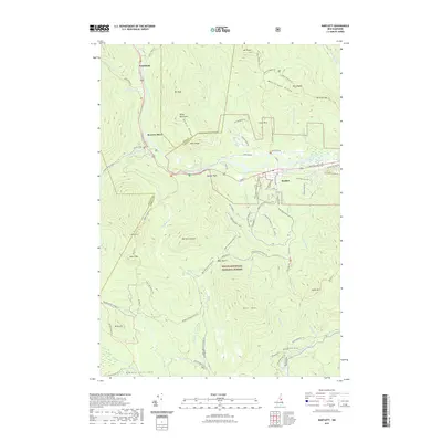
1987 Freedom
Carroll County, NH
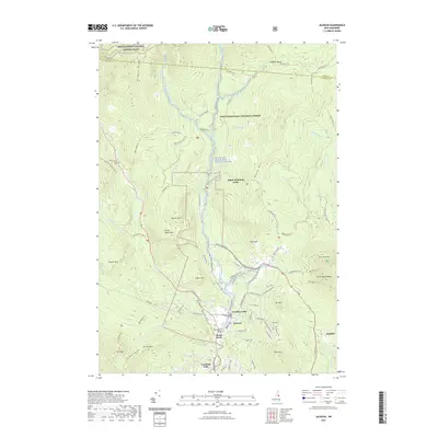
1987 Jackson
Carroll County, NH
1987 Mount Chocorua
Carroll County, NH
1987 North Conway East
Carroll County, NH
1987 North Conway West
Carroll County, NH
1987 Ossipee
Carroll County, NH
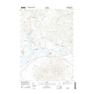
1987 Ossipee Lake
Carroll County, NH
1987 Silver Lake
Carroll County, NH
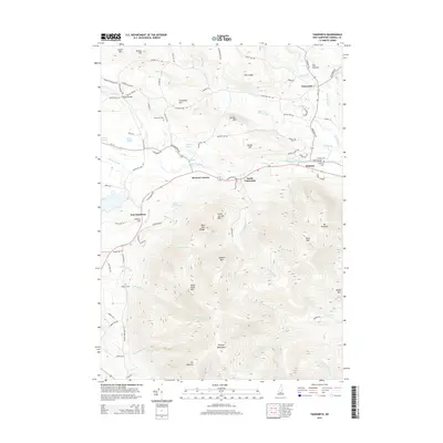
1987 Tamworth
Carroll County, NH
1987 Tuftonboro
Carroll County, NH
1987 Wolfeboro
Carroll County, NH

1995 Bartlett
Carroll County, NH
1995 Chatham
Carroll County, NH
1995 Jackson
Carroll County, NH

1995 Mount Chocorua
Carroll County, NH

1995 North Conway East
Carroll County, NH
1995 North Conway West
Carroll County, NH
1995 Silver Lake
Carroll County, NH
1998 Conway
Carroll County, NH
1998 Ossipee
Carroll County, NH
1998 Ossipee Lake
Carroll County, NH

1998 Tamworth
Carroll County, NH
2000 Tuftonboro
Carroll County, NH
2012 Bartlett
Carroll County, NH
2012 Chatham
Carroll County, NH
2012 Conway
Carroll County, NH
2012 Freedom
Carroll County, NH
2012 Jackson
Carroll County, NH
2012 Mount Chocorua
Carroll County, NH
2012 North Conway East
Carroll County, NH
2012 North Conway West
Carroll County, NH
2012 Ossipee
Carroll County, NH
2012 Ossipee Lake
Carroll County, NH
2012 Silver Lake
Carroll County, NH
2012 Tamworth
Carroll County, NH
2012 Tuftonboro
Carroll County, NH
2012 Wolfeboro
Carroll County, NH
2015 Bartlett
Carroll County, NH
2015 Chatham
Carroll County, NH
2015 Conway
Carroll County, NH
2015 Freedom
Carroll County, NH
2015 Jackson
Carroll County, NH
2015 Mount Chocorua
Carroll County, NH
2015 North Conway East
Carroll County, NH
2015 North Conway West
Carroll County, NH
2015 Ossipee
Carroll County, NH
2015 Ossipee Lake
Carroll County, NH
2015 Silver Lake
Carroll County, NH
2015 Tamworth
Carroll County, NH
2015 Tuftonboro
Carroll County, NH
2015 Wolfeboro
Carroll County, NH
2018 Bartlett
Carroll County, NH
2018 Chatham
Carroll County, NH
2018 Conway
Carroll County, NH
2018 Freedom
Carroll County, NH
2018 Jackson
Carroll County, NH
2018 Mount Chocorua
Carroll County, NH
2018 North Conway East
Carroll County, NH
2018 North Conway West
Carroll County, NH
2018 Ossipee
Carroll County, NH
2018 Ossipee Lake
Carroll County, NH
2018 Silver Lake
Carroll County, NH

2018 Tamworth
Carroll County, NH
2018 Tuftonboro
Carroll County, NH
2018 Wolfeboro
Carroll County, NH
2021 Bartlett
Carroll County, NH
2021 Chatham
Carroll County, NH
2021 Conway
Carroll County, NH
2021 Freedom
Carroll County, NH
2021 Jackson
Carroll County, NH
2021 Mount Chocorua
Carroll County, NH
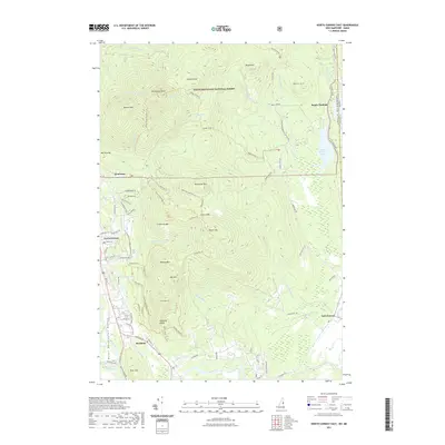
2021 North Conway East
Carroll County, NH
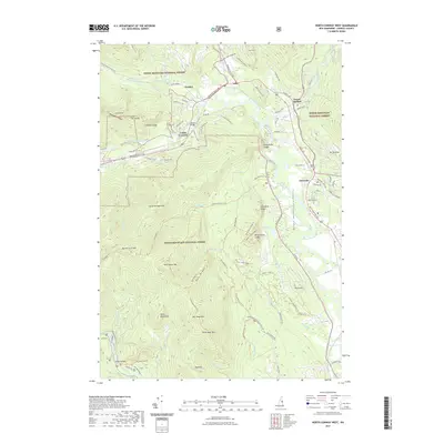
2021 North Conway West
Carroll County, NH
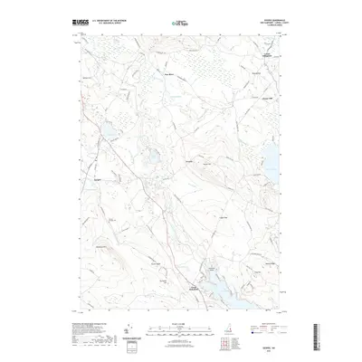
2021 Ossipee
Carroll County, NH
2021 Ossipee Lake
Carroll County, NH
2021 Silver Lake
Carroll County, NH
2021 Tamworth
Carroll County, NH
2021 Tuftonboro
Carroll County, NH
2021 Wolfeboro
Carroll County, NH
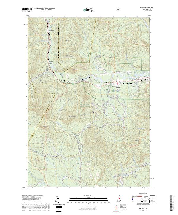
2024 Bartlett
Carroll County, NH
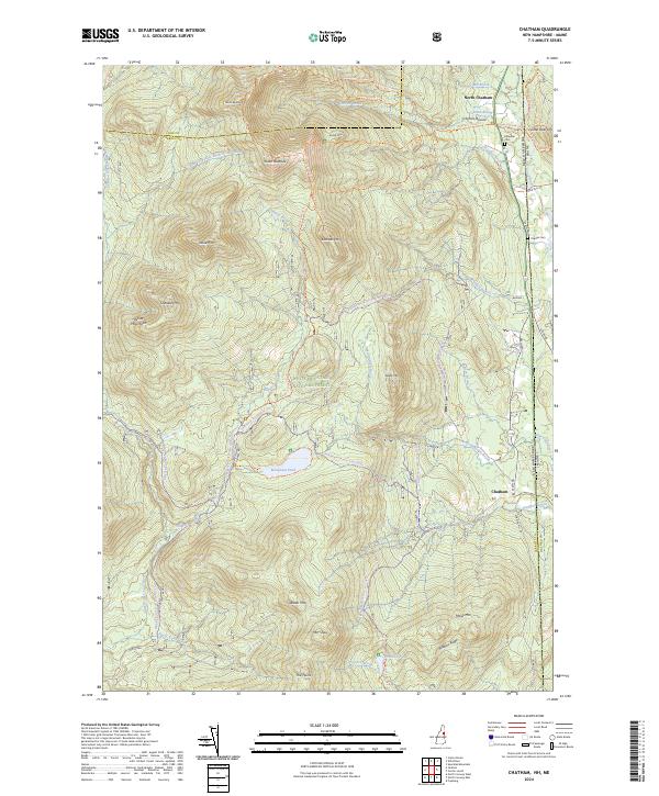
2024 Chatham
Carroll County, NH
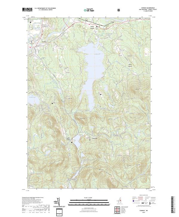
2024 Conway
Carroll County, NH
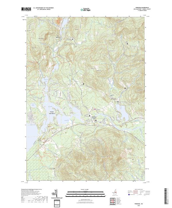
2024 Freedom
Carroll County, NH
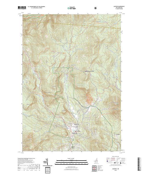
2024 Jackson
Carroll County, NH
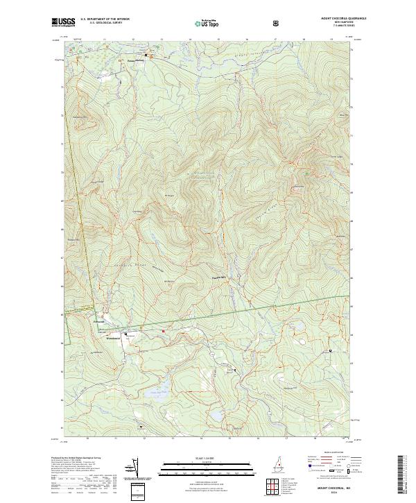
2024 Mount Chocorua
Carroll County, NH
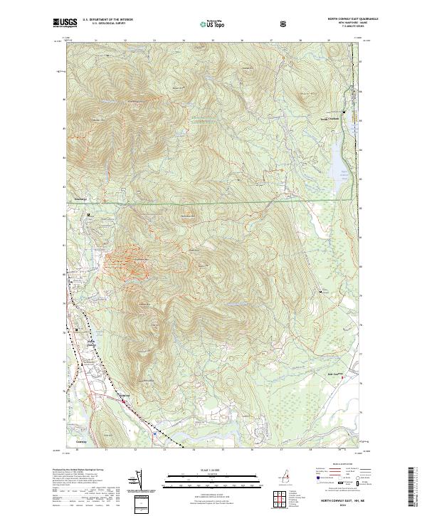
2024 North Conway East
Carroll County, NH
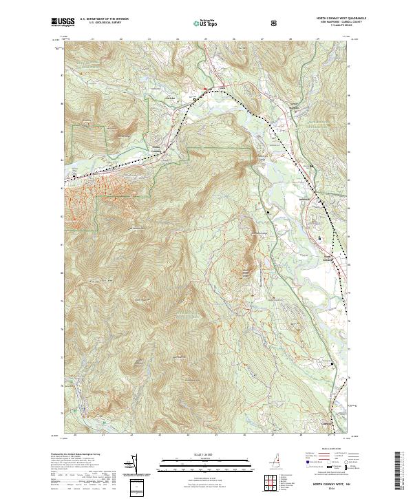
2024 North Conway West
Carroll County, NH
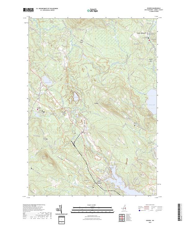
2024 Ossipee
Carroll County, NH
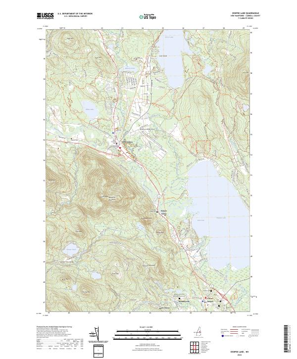
2024 Ossipee Lake
Carroll County, NH
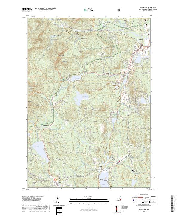
2024 Silver Lake
Carroll County, NH
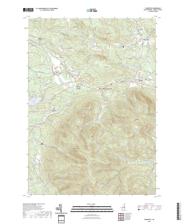
2024 Tamworth
Carroll County, NH
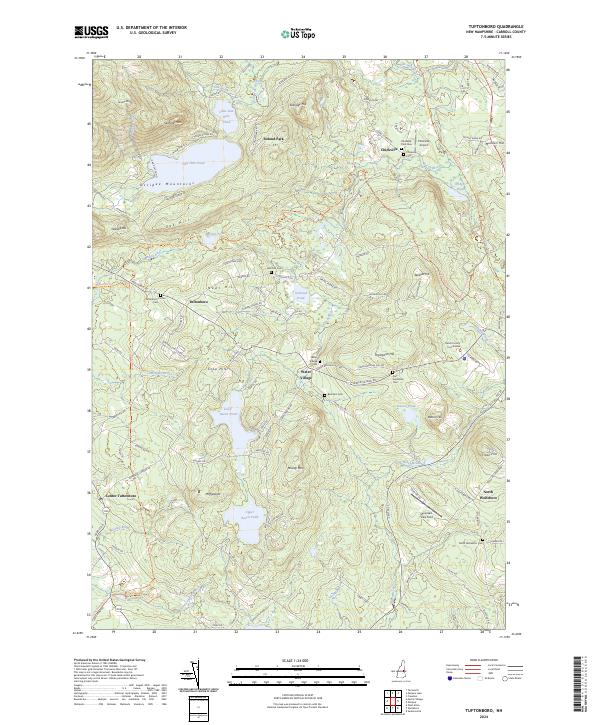
2024 Tuftonboro
Carroll County, NH
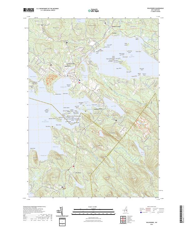
2024 Wolfeboro
Carroll County, NH