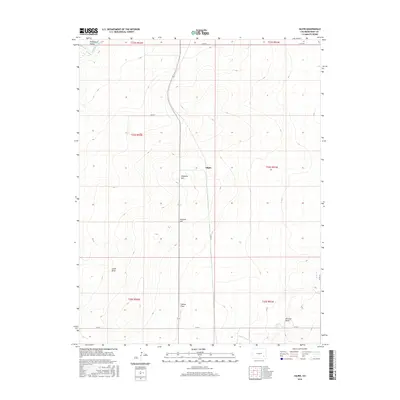
2016 Map of Gilpin
USGS Topo · Published 2016About this map
The Purgatoire River cuts through the northwest corner of this Colorado landscape, flowing through the historic Picketwire Valley. This portion of Bent County is defined by a series of prominent topographical features that shaped early land use, including the rises of Ninemile Hill and Getchel Hill. The central settlement of Gilpin serves as a focal point in an area otherwise characterized by vast plains and drainage systems.
Find a feature on this map
21 named features on this map. Tap any name to fly to it.
Don’t see what you’re looking for? This feature index may not catch every label — zoom into the map to look around manually.
Map Details
Editions of this 2016 Gilpin Map
This is the sole edition of this map. No revisions or reprints were ever made.
Other maps of this area
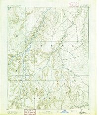
1891 · Higbee
USGS Topo · 1:125,000
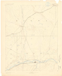
1891 · Las Animas
USGS Topo · 1:125,000
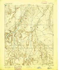
1893 · Higbee
USGS Topo · 1:125,000
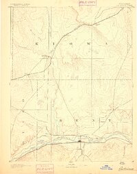
1893 · Las Animas
USGS Topo · 1:125,000
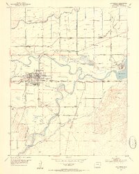
1953 · Las Animas
USGS Topo · 1:24,000
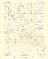
1953 · Cornelia
USGS Topo · 1:24,000
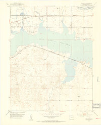
1953 · Kreybill
USGS Topo · 1:24,000
1954 · Lamar
USGS Topo · 1:250,000
1955 · La Junta
USGS Topo · 1:250,000
1958 · La Junta
USGS Topo · 1:250,000