
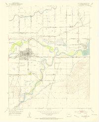
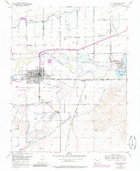
1953 Map of Las Animas
USGS Topo · Published 1954About this map
Las Animas serves as the focal point of this mid-century survey, situated at the strategic junction of the Arkansas River and the Purgatoire River. The settlement pattern reflects the area's frontier history and agricultural reliance, notably marked by the Boggsville (Historic) site south of the main township. Transportation and irrigation infrastructure dominate the landscape, with the Atchison Topeka and Santa Fe railroad paralleling the river, while an intricate network of the Consolidated Ditch and other water works support the surrounding valley farms.
Find a feature on this map
35 named features on this map. Tap any name to fly to it.
Don’t see what you’re looking for? This feature index may not catch every label — zoom into the map to look around manually.
Map Details
Editions of this 1953 Las Animas Map
6 editions found
Other maps of this area

1891 · Higbee
USGS Topo · 1:125,000

1891 · Las Animas
USGS Topo · 1:125,000

1893 · Higbee
USGS Topo · 1:125,000

1893 · Las Animas
USGS Topo · 1:125,000

1953 · Cornelia
USGS Topo · 1:24,000

1953 · Kreybill
USGS Topo · 1:24,000

1954 · Lamar
USGS Topo · 1:250,000

1955 · Tree Top Ranch
USGS Topo · 1:24,000

1955 · Mc Intosh Ranch
USGS Topo · 1:24,000

1955 · Bishop Ranch
USGS Topo · 1:24,000