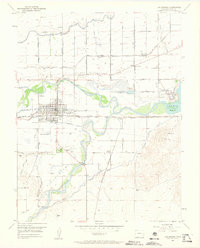
1953 Map of Las Animas
USGS Topo · Published 1963About this map
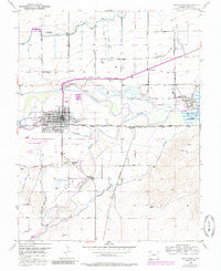
Las Animas serves as the focal point of this mid-century landscape, situated near the confluence where the Purgatoire River joins the Arkansas River. The map highlights a significant intersection of historical and modern transportation, showing the Old Santa Fe Trail running parallel to the active Atchison Topeka and Santa Fe railroad. To the east, the sprawling grounds of the Fort Lyon Veterans Hospital sit adjacent to the John Martin Reservoir, marking a period of significant institutional presence in Bent County.
Find a feature on this map
28 named features on this map. Tap any name to fly to it.
Don’t see what you’re looking for? This feature index may not catch every label — zoom into the map to look around manually.
Map Details
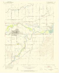
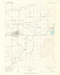
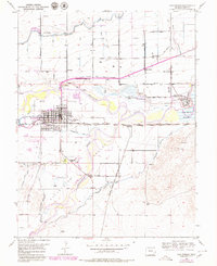
Editions of this 1953 Las Animas Map
6 editions found
Other maps of this area

1891 · Higbee
USGS Topo · 1:125,000

1891 · Las Animas
USGS Topo · 1:125,000

1893 · Higbee
USGS Topo · 1:125,000

1893 · Las Animas
USGS Topo · 1:125,000

1953 · Las Animas
USGS Topo · 1:24,000

1953 · Cornelia
USGS Topo · 1:24,000

1953 · Kreybill
USGS Topo · 1:24,000

1954 · Lamar
USGS Topo · 1:250,000

1955 · Tree Top Ranch
USGS Topo · 1:24,000

1955 · Mc Intosh Ranch
USGS Topo · 1:24,000