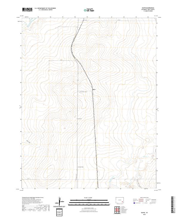
2022 Map of Gilpin
USGS Topo · Published 2022About this map
Purgatoire River meanders across the northwest corner of this high plains landscape, while the small settlement of Gilpin sits centered near Ninemile Hill. This 2022 survey captures the agricultural and topographical character of Bent County, where name-bearing landmarks like Heinan Flats and Getchel Hill indicate the area's long-standing family associations. The local drainage and irrigation network is represented by Rule Cr, Penrose Draw, and the Eagle Rock Ditch, reflecting the managed water resources essential to this arid region. The map provides a clear record of the rural road system, including Co RD 13 and Co RD Z, which grid the open terrain between varied elevations like Smith Draw.
Find a feature on this map
20 named features on this map. Tap any name to fly to it.
Don’t see what you’re looking for? This feature index may not catch every label — zoom into the map to look around manually.
Map Details
Editions of this 2022 Gilpin Map
This is the sole edition of this map. No revisions or reprints were ever made.
Other maps of this area

1891 · Higbee
USGS Topo · 1:125,000

1891 · Las Animas
USGS Topo · 1:125,000

1893 · Higbee
USGS Topo · 1:125,000

1893 · Las Animas
USGS Topo · 1:125,000

1953 · Las Animas
USGS Topo · 1:24,000

1953 · Cornelia
USGS Topo · 1:24,000

1953 · Kreybill
USGS Topo · 1:24,000

1954 · Lamar
USGS Topo · 1:250,000

1955 · La Junta
USGS Topo · 1:250,000

1958 · La Junta
USGS Topo · 1:250,000