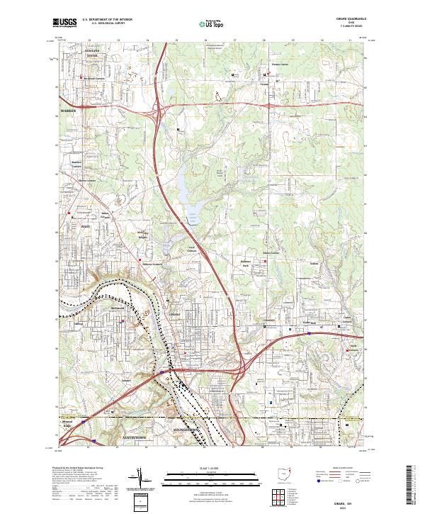
2023 Map of Girard
USGS Topo · Published 2023About this map
The industrial corridor of the Mahoning River valley anchors this detailed 2023 survey of the region between Warren, Niles, and Youngstown. This territory in Trumbull County is defined by a dense network of historic crossroads and neighborhood settlements, including Tibbetts Corners, McKinley Heights, and Churchill. The geography is notably shaped by the water management systems of the Upper Girard Lake and Lower Girard Lake, which together with Girard Creek and Little Girard Creek, create a distinct hydrologic profile for the city of Girard.
Find a feature on this map
60 named features on this map. Tap any name to fly to it.
Don’t see what you’re looking for? This feature index may not catch every label — zoom into the map to look around manually.
Map Details
Editions of this 2023 Girard Map
This is the sole edition of this map. No revisions or reprints were ever made.
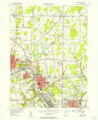
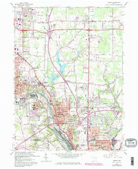
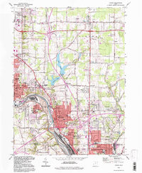
Historical Maps of North Heights Through Time
4 maps found