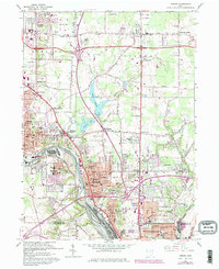
1962 Map of Girard
USGS Topo · Published 1980About this map
The Mahoning River corridor serves as the industrial backbone of this region, where the heavy presence of Slag Dumps and extensive rail networks like Conrail and the Baltimore and Ohio define the landscape between Niles and Girard. This survey, updated with 1970s revisions, captures the post-war expansion of the Youngstown area, marked by the emergence of Interchanges and suburban developments like McKinley Heights and Churchill.
Find a feature on this map
93 named features on this map. Tap any name to fly to it.
Don’t see what you’re looking for? This feature index may not catch every label — zoom into the map to look around manually.
Map Details
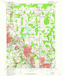
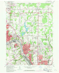
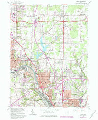
Editions of this 1962 Girard Map
4 editions found
Other maps of this area

1905 · Bristolville
USGS Topo · 1:62,500

1906 · Youngstown
USGS Topo · 1:62,500

1907 · Kinsman
USGS Topo · 1:62,500

1907 · Bristolville
USGS Topo · 1:62,500

1908 · Youngstown
USGS Topo · 1:62,500

1908 · Warren
USGS Topo · 1:62,500

1950 · Cleveland
USGS Topo · 1:250,000

1951 · Campbell
USGS Topo · 1:24,000

1951 · Youngstown
USGS Topo · 1:24,000

1952 · Canfield
USGS Topo · 1:24,000