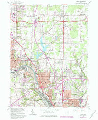
1962 Map of Girard
USGS Topo · Published 1980About this map
The industrial corridor of the Mahoning River anchors this 1962 survey of northeast Ohio, showing the heavy manufacturing and rail infrastructure of Girard and Niles. Massive slag dumps flank the riverbanks, reflecting the region's steel-producing legacy, while a complex web of tracks including the Baltimore and Ohio, Conrail, and Lake Erie and Eastern railroads weave through the valley. This transit network supported the growth of numerous named crossroads such as Madden Corners, Ekerts Corners, and Klines Corner.
Find a feature on this map
83 named features on this map. Tap any name to fly to it.
Don’t see what you’re looking for? This feature index may not catch every label — zoom into the map to look around manually.
Map Details
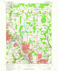
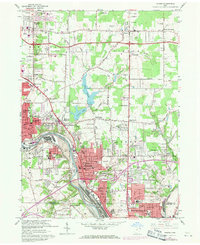
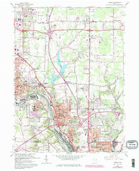
Editions of this 1962 Girard Map
4 editions found
Other maps of this area

1905 · Bristolville
USGS Topo · 1:62,500

1906 · Youngstown
USGS Topo · 1:62,500

1907 · Kinsman
USGS Topo · 1:62,500

1907 · Bristolville
USGS Topo · 1:62,500

1908 · Youngstown
USGS Topo · 1:62,500

1908 · Warren
USGS Topo · 1:62,500

1950 · Cleveland
USGS Topo · 1:250,000

1951 · Campbell
USGS Topo · 1:24,000

1951 · Youngstown
USGS Topo · 1:24,000

1952 · Canfield
USGS Topo · 1:24,000