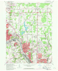
1962 Map of Girard
USGS Topo · Published 1971About this map
The Mahoning River valley serves as the industrial backbone of this Trumbull County landscape, where the heavy rail lines of the Erie-Lackawanna, Penn Central, and Baltimore and Ohio converge. This survey captures the dense mid-century development of Girard and Niles, characterized by an intricate network of neighborhood schools like Washington Sch and Jefferson Sch. The transition from urban centers to more rural corners is marked by family-named intersections such as Tibbetts Corners and Riblets Corners.
Find a feature on this map
86 named features on this map. Tap any name to fly to it.
Don’t see what you’re looking for? This feature index may not catch every label — zoom into the map to look around manually.
Map Details
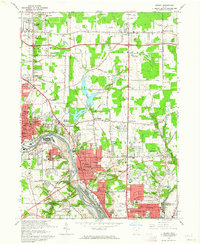
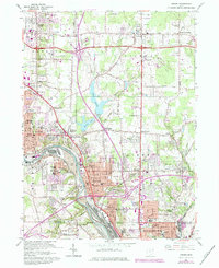
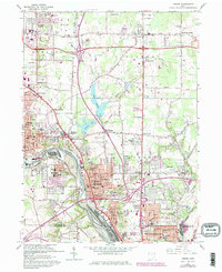
Editions of this 1962 Girard Map
4 editions found
Other maps of this area

1905 · Bristolville
USGS Topo · 1:62,500

1906 · Youngstown
USGS Topo · 1:62,500

1907 · Kinsman
USGS Topo · 1:62,500

1907 · Bristolville
USGS Topo · 1:62,500

1908 · Youngstown
USGS Topo · 1:62,500

1908 · Warren
USGS Topo · 1:62,500

1950 · Cleveland
USGS Topo · 1:250,000

1951 · Campbell
USGS Topo · 1:24,000

1951 · Youngstown
USGS Topo · 1:24,000

1952 · Canfield
USGS Topo · 1:24,000