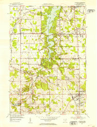
1952 Map of Canfield
USGS Topo · Published 1953About this map
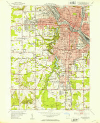
Meander Creek Reservoir dominates the central landscape of this early 1950s survey, its flooded valley creating a jagged shoreline through the heart of Jackson and Austintown townships. The map documents a period of postwar transition in Mahoning County, where traditional crossroads like Lipkey Corners and Smith Corners sit adjacent to emerging infrastructure like the Austintown Airfield and an Outdoor Theater. To the south, the village of Canfield is shown in significant detail, featuring the County Fairgrounds and the County Experimental Farm.
Find a feature on this map
63 named features on this map. Tap any name to fly to it.
Don’t see what you’re looking for? This feature index may not catch every label — zoom into the map to look around manually.
Map Details
Editions of this 1952 Canfield Map
This is the sole edition of this map. No revisions or reprints were ever made.
Other maps of this area

1906 · Youngstown
USGS Topo · 1:62,500

1907 · Columbiana
USGS Topo · 1:62,500

1908 · Youngstown
USGS Topo · 1:62,500
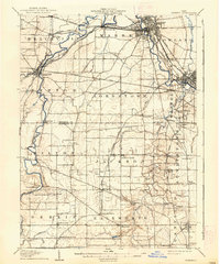
1908 · Warren
USGS Topo · 1:62,500
1909 · Lisbon
USGS Topo · 1:62,500

1909 · Columbiana
USGS Topo · 1:62,500

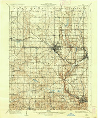
1950 · Cleveland
USGS Topo · 1:250,000

1951 · Canton
USGS Topo · 1:250,000
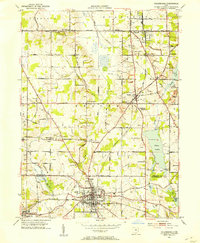
1951 · Columbiana
USGS Topo · 1:24,000
1951 · Youngstown
USGS Topo · 1:24,000