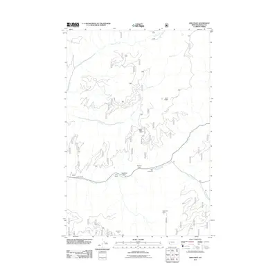
2011 Map of Gird Point
USGS Topo · Published 2011About this map
Skalkaho Creek and its many tributaries define the geography of this part of Ravalli County, where steep drainages and mountain summits dominate the landscape. In this 2011 U.S. Forest Service and USGS collaboration, the map documents a network of named gulches and high points, including Fullerton Gulch, Tenderfoot Gulch, and the prominent Gird Point. The presence of Yellowstone Camp and the Black Bear Campground suggests a long-standing pattern of seasonal use and forest management.
Find a feature on this map
14 named features on this map. Tap any name to fly to it.
Don’t see what you’re looking for? This feature index may not catch every label — zoom into the map to look around manually.
Map Details
Editions of this 2011 Gird Point Map
This is the sole edition of this map. No revisions or reprints were ever made.
Other maps of this area

1901 · Hamilton
USGS Topo · 1:125,000

1909 · Sapphire
USGS Topo · 1:125,000

1947 · Butte
USGS Topo · 1:250,000

1956 · Hamilton
USGS Topo · 1:250,000

1958 · Butte
USGS Topo · 1:250,000

1959 · Hamilton
USGS Topo · 1:250,000

1960 · Butte
USGS Topo · 1:250,000

1960 · Hamilton
USGS Topo · 1:250,000

1962 · Butte
USGS Topo · 1:250,000

1964 · Hamilton
USGS Topo · 1:250,000