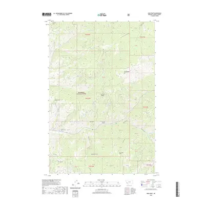
2020 Map of Gird Point
USGS Topo · Published 2020About this map
Bitterroot National Forest encompasses the high country of Ravalli County in this recent survey, centered on the lookout at Gird Point. The landscape is defined by its dramatic verticality, where the Gird Creek/Middle Ridge divides deep drainages. Significant watercourses such as Skalkaho Creek, Gird Creek, and the headwaters of Railroad Creek carve through the terrain, creating a network of named gulches and draws that have likely served as landmarks for generations of mountain travel.
Find a feature on this map
26 named features on this map. Tap any name to fly to it.
Don’t see what you’re looking for? This feature index may not catch every label — zoom into the map to look around manually.
Map Details
Editions of this 2020 Gird Point Map
This is the sole edition of this map. No revisions or reprints were ever made.
Other maps of this area

1901 · Hamilton
USGS Topo · 1:125,000

1909 · Sapphire
USGS Topo · 1:125,000

1947 · Butte
USGS Topo · 1:250,000

1956 · Hamilton
USGS Topo · 1:250,000

1958 · Butte
USGS Topo · 1:250,000

1959 · Hamilton
USGS Topo · 1:250,000

1960 · Butte
USGS Topo · 1:250,000

1960 · Hamilton
USGS Topo · 1:250,000

1962 · Butte
USGS Topo · 1:250,000

1964 · Hamilton
USGS Topo · 1:250,000