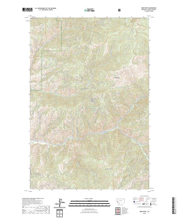
2024 Map of Gird Point
USGS Topo · Published 2024About this map
Bitterroot National Forest encompasses the high country of the Sapphire Mountains in this modern topographical study. The landscape is defined by a dense network of watercourses and canyons, where Skalkaho Creek and Saint Clair Creek carve through the steep terrain. These drainages are flanked by numerous named gullies and draws, including Tenderfoot Gulch, Fullerton Gulch, and the aptly named Last Log Draw.
Find a feature on this map
25 named features on this map. Tap any name to fly to it.
Don’t see what you’re looking for? This feature index may not catch every label — zoom into the map to look around manually.
Map Details
Editions of this 2024 Gird Point Map
This is the sole edition of this map. No revisions or reprints were ever made.
Other maps of this area

1901 · Hamilton
USGS Topo · 1:125,000

1909 · Sapphire
USGS Topo · 1:125,000

1947 · Butte
USGS Topo · 1:250,000

1956 · Hamilton
USGS Topo · 1:250,000

1958 · Butte
USGS Topo · 1:250,000

1959 · Hamilton
USGS Topo · 1:250,000

1960 · Butte
USGS Topo · 1:250,000

1960 · Hamilton
USGS Topo · 1:250,000

1962 · Butte
USGS Topo · 1:250,000

1964 · Hamilton
USGS Topo · 1:250,000