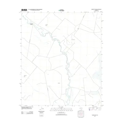
2012 Map of Girvin NW
USGS Topo · Published 2012About this map
Horsehead Crossing stands as a primary landmark on this West Texas survey, marking a historically significant point along the Pecos River. The landscape is defined by the sharp contrast between the winding river corridor and the arid stretches of Salt Flat and Soda Lake. Infrastructure in this part of Pecos County reflects the region's ranching and energy roots, with the Smith Ranch located in the northeast and the Bayview Oil Field situated central to the transport network. Arid drainage patterns like Landreth Draw and Diamond Y Draw intersect the terrain, illustrating the hydrologic character of the basin. The road network, including Horse Head Rd and Ranch Road 11, provides the primary access through these expansive ranchlands and industrial sites.
Find a feature on this map
12 named features on this map. Tap any name to fly to it.
Don’t see what you’re looking for? This feature index may not catch every label — zoom into the map to look around manually.
Map Details
Editions of this 2012 Girvin NW Map
This is the sole edition of this map. No revisions or reprints were ever made.
Other maps of this area
1928 · Crane
USGS Topo · 1:125,000

1954 · Pecos
USGS Topo · 1:250,000
1957 · Pecos
USGS Topo · 1:250,000
1972 · Buena Vista NE
USGS Topo · 1:24,000
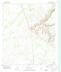
1972 · Girvin NE
USGS Topo · 1:24,000
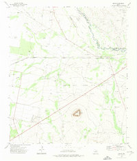
1972 · Girvin
USGS Topo · 1:24,000
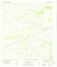
1972 · Owego
USGS Topo · 1:24,000
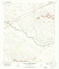
1972 · Girvin SE
USGS Topo · 1:24,000
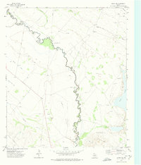
1972 · Girvin NW
USGS Topo · 1:24,000
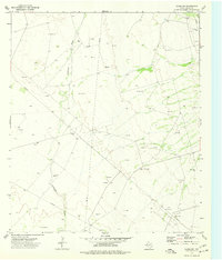
1974 · Crane SW
USGS Topo · 1:24,000