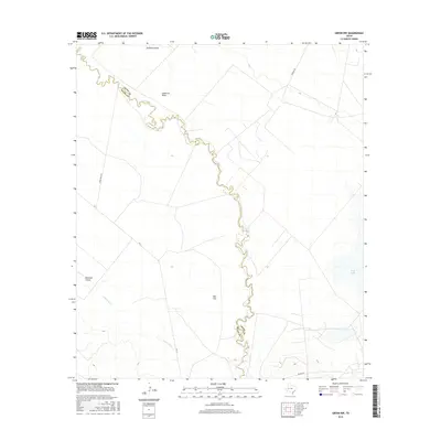
2016 Map of Girvin NW
USGS Topo · Published 2016About this map
The Pecos River serves as the primary boundary between Crane and Pecos counties, winding through a landscape of ephemeral drainage systems and desert flats. This West Texas terrain is defined by dry watercourses such as Landreth Draw, Diamond Y Draw, and Leon Cr, which converge toward the river valley. The presence of the Salt Flat and the seasonally dry Soda Lake indicate the arid, alkali-rich environment of the Trans-Pecos region. Transportation across this expanse is facilitated by FM 11 and several established local routes including Horse Head Rd, a name recalling the historic crossing point on the Goodnight-Loving Trail. The map also documents Comanche Cr, which cuts through the southern portion of the quadrangle before reaching the Pecos, illustrating the complex hydrography of this cattle-ranching and oil-producing territory.
Find a feature on this map
12 named features on this map. Tap any name to fly to it.
Don’t see what you’re looking for? This feature index may not catch every label — zoom into the map to look around manually.
Map Details
Editions of this 2016 Girvin NW Map
This is the sole edition of this map. No revisions or reprints were ever made.
Other maps of this area
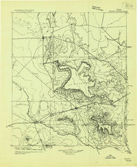
1928 · Crane
USGS Topo · 1:125,000

1954 · Pecos
USGS Topo · 1:250,000
1957 · Pecos
USGS Topo · 1:250,000
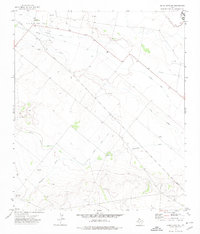
1972 · Buena Vista NE
USGS Topo · 1:24,000
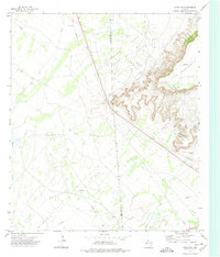
1972 · Girvin NE
USGS Topo · 1:24,000
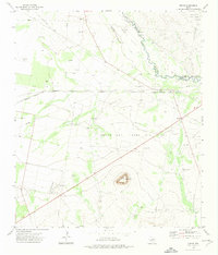
1972 · Girvin
USGS Topo · 1:24,000
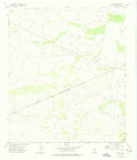
1972 · Owego
USGS Topo · 1:24,000
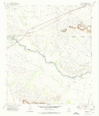
1972 · Girvin SE
USGS Topo · 1:24,000
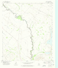
1972 · Girvin NW
USGS Topo · 1:24,000
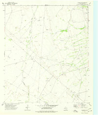
1974 · Crane SW
USGS Topo · 1:24,000