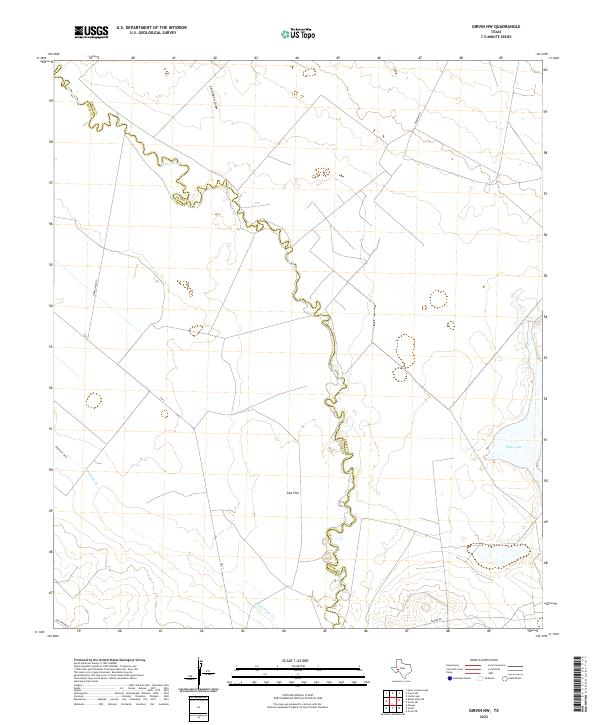
2022 Map of Girvin NW
USGS Topo · Published 2022About this map
The Pecos River serves as the winding natural boundary between Crane and Pecos Counties in this West Texas survey. The landscape is defined by its arid drainage patterns, including Landreth Draw and Diamond Y Draw, which feed into the river basin. The Presence of Salt Flat and the expansive Soda Lake indicate a terrain of low-lying basins where mineral deposits accumulate in the desert environment.
Find a feature on this map
12 named features on this map. Tap any name to fly to it.
Don’t see what you’re looking for? This feature index may not catch every label — zoom into the map to look around manually.
Map Details
Editions of this 2022 Girvin NW Map
This is the sole edition of this map. No revisions or reprints were ever made.
Other maps of this area

1928 · Crane
USGS Topo · 1:125,000

1954 · Pecos
USGS Topo · 1:250,000

1957 · Pecos
USGS Topo · 1:250,000
1972 · Buena Vista NE
USGS Topo · 1:24,000

1972 · Girvin NE
USGS Topo · 1:24,000
1972 · Girvin
USGS Topo · 1:24,000
1972 · Owego
USGS Topo · 1:24,000
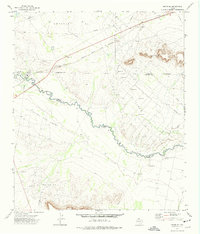
1972 · Girvin SE
USGS Topo · 1:24,000
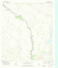
1972 · Girvin NW
USGS Topo · 1:24,000

1974 · Crane SW
USGS Topo · 1:24,000