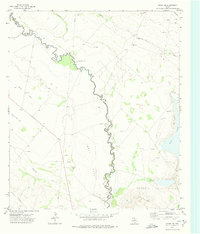
1972 Map of Girvin NW
USGS Topo · Published 1975About this map
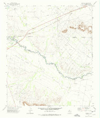
Horsehead Crossing marks a significant historical landmark on this map, situated where the tightly winding Pecos River forms the boundary of Crane Co. This section of the river valley is defined by its industrial and agricultural water infrastructure, featuring the Imperial Canal No 5 and several Gravel Pits. The landscape transitions from the riparian corridor of the river to the arid expanse of the Salt Flat, punctuated by the Bayview Oil Field and Crossett Oil Field. Extensive networks of pipelines and drill holes illustrate the mid-century petroleum development across the West Texas scrub. To the east, the seasonal Soda Lake sits amidst a terrain carved by intermittent waterways like Comanche Creek and Leon Cr, while the Smith Ranch and a Pumping Sta represent the sparse human footprint in this resource-rich basin.
Find a feature on this map
17 named features on this map. Tap any name to fly to it.
Don’t see what you’re looking for? This feature index may not catch every label — zoom into the map to look around manually.
Map Details
Editions of this 1972 Girvin NW Map
This is the sole edition of this map. No revisions or reprints were ever made.
Other maps of this area

1928 · Crane
USGS Topo · 1:125,000

1954 · Pecos
USGS Topo · 1:250,000

1957 · Pecos
USGS Topo · 1:250,000
1972 · Buena Vista NE
USGS Topo · 1:24,000

1972 · Girvin NE
USGS Topo · 1:24,000
1972 · Girvin
USGS Topo · 1:24,000
1972 · Owego
USGS Topo · 1:24,000
1972 · Girvin SE
USGS Topo · 1:24,000

1974 · Crane SW
USGS Topo · 1:24,000

1974 · Juan Cordona Lake
USGS Topo · 1:24,000