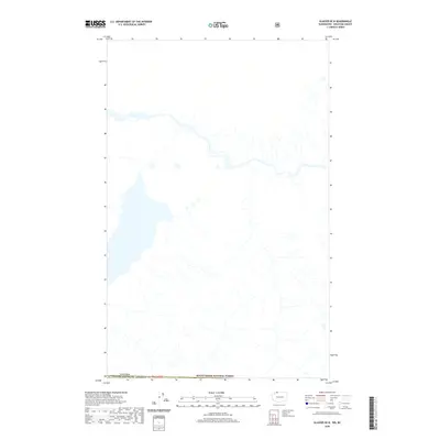
2020 Map of Glacier OE N
USGS Topo · Published 2020About this map
Mount Baker National Forest encompasses the southern portion of this topographical study along the international border. The landscape is defined by the high-elevation drainage systems of the Cascade Range as they flow north from the federal forest lands toward the Canada United States of America boundary line. This 2020 survey provides a detailed view of the complex hydrography and creek networks that characterize this borderland region, which remains largely undeveloped and preserved for national forest use. The area is intersected by the township line of t41n r6e, marking a specific point in the Public Land Survey System where federal management meets the international frontier.
Find a feature on this map
3 named features on this map. Tap any name to fly to it.
Don’t see what you’re looking for? This feature index may not catch every label — zoom into the map to look around manually.
Map Details
Editions of this 2020 Glacier OE N Map
This is the sole edition of this map. No revisions or reprints were ever made.
Other maps of this area
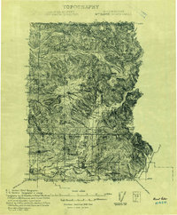
1909 · Mt Baker
USGS Topo · 1:192,000
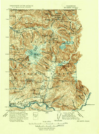
1915 · Mt. Baker
USGS Topo · 1:250,000
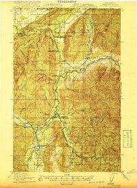
1919 · Van Zandt
USGS Topo · 1:62,500
1951 · Van Zandt
USGS Topo · 1:62,500
1952 · Mt. Baker
USGS Topo · 1:62,500
1955 · Concrete
USGS Topo · 1:250,000
1957 · Victoria
USGS Topo · 1:250,000
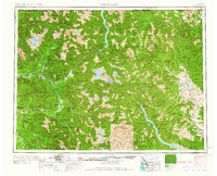
1958 · Concrete
USGS Topo · 1:250,000
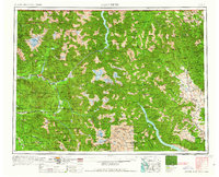
1962 · Concrete
USGS Topo · 1:250,000
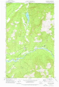
1972 · Maple Falls
USGS Topo · 1:24,000