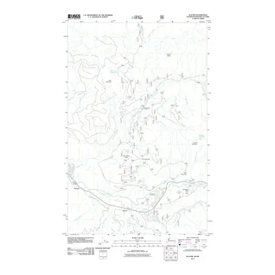
2011 Map of Glacier
USGS Topo · Published 2011About this map
The North Fork Nooksack River carves through this northern Washington landscape, anchoring the small settlements of Glacier and Warnick. The river valley serves as the primary corridor for travel and habitation, with Warnick Bridge providing a critical crossing point near the confluence of Canyon Creek. The surrounding terrain is defined by significant elevations, including Church Mountain and Bald Mountain, which overlook a complex network of drainages such as Thompson Creek and Glacier Creek.
Find a feature on this map
44 named features on this map. Tap any name to fly to it.
Don’t see what you’re looking for? This feature index may not catch every label — zoom into the map to look around manually.
Map Details
Editions of this 2011 Glacier Map
This is the sole edition of this map. No revisions or reprints were ever made.
Other maps of this area

1909 · Mt Baker
USGS Topo · 1:192,000

1915 · Mt. Baker
USGS Topo · 1:250,000

1919 · Van Zandt
USGS Topo · 1:62,500

1951 · Van Zandt
USGS Topo · 1:62,500

1952 · Mt. Baker
USGS Topo · 1:62,500

1955 · Concrete
USGS Topo · 1:250,000

1957 · Victoria
USGS Topo · 1:250,000

1958 · Concrete
USGS Topo · 1:250,000

1962 · Concrete
USGS Topo · 1:250,000

1972 · Maple Falls
USGS Topo · 1:24,000