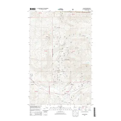
2014 Map of Glacier
USGS Topo · Published 2014About this map
Glacier and the smaller settlement of Warnick serve as the primary gateways to the high-elevation wilderness within this portion of the Mount Baker National Forest. The landscape is dominated by significant peaks and ridges, including Church Mtn, Kaisoots Mtn, and the prominent Canyon Ridge. Movement through this mountain terrain follows the path of the North Fork Nooksack River, which creates a natural corridor for the Mt Baker Hwy. Along the river valley, features like Warnick Bridge and the Horseshoe Bend mark the transition from the valley floor to the steep forested slopes. Recreation and access are defined by numerous forest development roads, such as Nat For Dev Rd 31, and established sites like the Douglas Fir Campground and Canyon Creek Campground. The map illustrates a complex network of glacial and snowmelt-fed waterways, including Glacier Cr and Canyon Cr, which carve deep drainage patterns into the surrounding ridges.
Find a feature on this map
59 named features on this map. Tap any name to fly to it.
Don’t see what you’re looking for? This feature index may not catch every label — zoom into the map to look around manually.
Map Details
Editions of this 2014 Glacier Map
This is the sole edition of this map. No revisions or reprints were ever made.
Other maps of this area
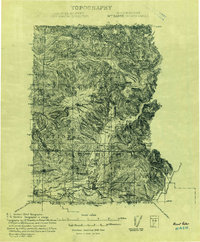
1909 · Mt Baker
USGS Topo · 1:192,000
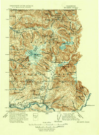
1915 · Mt. Baker
USGS Topo · 1:250,000
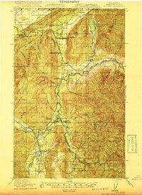
1919 · Van Zandt
USGS Topo · 1:62,500
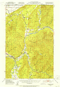
1951 · Van Zandt
USGS Topo · 1:62,500
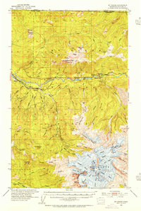
1952 · Mt. Baker
USGS Topo · 1:62,500
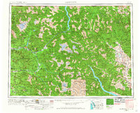
1955 · Concrete
USGS Topo · 1:250,000
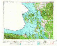
1957 · Victoria
USGS Topo · 1:250,000
1958 · Concrete
USGS Topo · 1:250,000
1962 · Concrete
USGS Topo · 1:250,000
1972 · Maple Falls
USGS Topo · 1:24,000