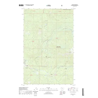
2020 Map of Glacier
USGS Topo · Published 2020About this map
Glacier and the neighboring settlement of Warnick sit along the banks of the North Fork Nooksack River at the base of the high Cascades. This modern topographic survey illustrates a landscape dominated by the Mount Baker National Forest and the dramatic relief of the surrounding peaks, including Church Mtn and Kaisoots Mtn. The river valley serves as a narrow corridor for habitation, centered around the Warnick Bridge and the confluence of glacial-fed streams like Glacier Cr and Gallop Cr.
Find a feature on this map
50 named features on this map. Tap any name to fly to it.
Don’t see what you’re looking for? This feature index may not catch every label — zoom into the map to look around manually.
Map Details
Editions of this 2020 Glacier Map
This is the sole edition of this map. No revisions or reprints were ever made.
Other maps of this area

1909 · Mt Baker
USGS Topo · 1:192,000

1915 · Mt. Baker
USGS Topo · 1:250,000

1919 · Van Zandt
USGS Topo · 1:62,500

1951 · Van Zandt
USGS Topo · 1:62,500

1952 · Mt. Baker
USGS Topo · 1:62,500

1955 · Concrete
USGS Topo · 1:250,000

1957 · Victoria
USGS Topo · 1:250,000

1958 · Concrete
USGS Topo · 1:250,000

1962 · Concrete
USGS Topo · 1:250,000

1972 · Maple Falls
USGS Topo · 1:24,000