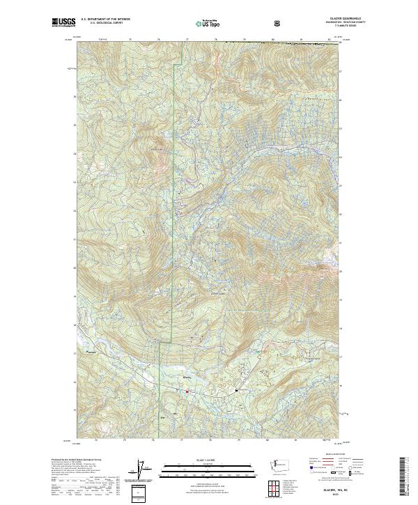
2023 Map of Glacier
USGS Topo · Published 2023About this map
The community of Glacier serves as the focal point of this survey in the North Cascades, positioned along the banks of the North Fork Nooksack River. Located at the edge of the Mount Baker National Forest, the settlement is surrounded by steep terrain defined by Kaisoots Mtn and Church Mtn. A network of logging and access roads, including Cornell Creek Rd and Miller Way, branches out from the river valley, while the Glacier Cem provides a point of interest for genealogists tracking early residents of this mountain outpost. To the north, the landscape rises sharply toward Canyon Ridge and West Church Ridge. Local water sources such as Canyon Creek and Gallop Creek drain into the primary river, illustrating a drainage pattern that has long dictated the layout of settlements and transport routes in Whatcom County.
Find a feature on this map
46 named features on this map. Tap any name to fly to it.
Don’t see what you’re looking for? This feature index may not catch every label — zoom into the map to look around manually.
Map Details
Editions of this 2023 Glacier Map
This is the sole edition of this map. No revisions or reprints were ever made.
Other maps of this area

1909 · Mt Baker
USGS Topo · 1:192,000

1915 · Mt. Baker
USGS Topo · 1:250,000

1919 · Van Zandt
USGS Topo · 1:62,500

1951 · Van Zandt
USGS Topo · 1:62,500

1952 · Mt. Baker
USGS Topo · 1:62,500

1955 · Concrete
USGS Topo · 1:250,000

1957 · Victoria
USGS Topo · 1:250,000

1958 · Concrete
USGS Topo · 1:250,000

1962 · Concrete
USGS Topo · 1:250,000

1972 · Maple Falls
USGS Topo · 1:24,000