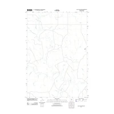
2012 Map of Glad Valley SW
USGS Topo · Published 2012About this map
Thunder Butte stands as a prominent landmark in this prairie landscape of Ziebach County, overlooking a network of seasonal drainages that define the local geography. The map illustrates a high-plains environment where water is the primary architect of the land, featuring the winding paths of Tourney Cr and Line Cr in the northern reaches. The drainage system of Thunder Butte Cr dominates the southern half of the quadrangle, joined by the smaller Knocker Cr. This 2012 survey by the U.S. Geological Survey reflects the open character of South Dakota's District 1, where the sparse road network follows the section lines of the Public Land Survey System, highlighting the vast distances between rural ranching operations and the enduring importance of named natural landmarks in such an expansive terrain.
Find a feature on this map
5 named features on this map. Tap any name to fly to it.
Don’t see what you’re looking for? This feature index may not catch every label — zoom into the map to look around manually.
Map Details
Editions of this 2012 Glad Valley SW Map
This is the sole edition of this map. No revisions or reprints were ever made.
Other maps of this area

1951 · Redelm NE
USGS Topo · 1:24,000

1951 · Redelm NW
USGS Topo · 1:24,000

1951 · Faith NE
USGS Topo · 1:24,000

1953 · McIntosh
USGS Topo · 1:250,000

1954 · Lemmon
USGS Topo · 1:250,000

1957 · Lemmon
USGS Topo · 1:250,000

1958 · McIntosh
USGS Topo · 1:250,000

1982 · Glad Valley
USGS Topo · 1:24,000

1982 · Glad Valley SW
USGS Topo · 1:24,000

1982 · Glad Valley NW
USGS Topo · 1:24,000