
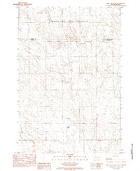
1982 Map of Glad Valley
USGS Topo · Published 1983About this map
Glad Valley sits at the intersection of several historic administrative boundaries in Ziebach and Corson counties. This early 1980s provisional survey documents the rural character of the northern South Dakota plains where the Grand River National Grassland, Standing Rock Indian Reservation, and the Cheyenne River Indian Reservation Boundary converge. The landscape is defined by the drainage of the East Fork Twin Butte Creek and the West Fork, which feed into the Glad Valley Dam.
Find a feature on this map
17 named features on this map. Tap any name to fly to it.
Don’t see what you’re looking for? This feature index may not catch every label — zoom into the map to look around manually.
Map Details
Editions of this 1982 Glad Valley Map
This is the sole edition of this map. No revisions or reprints were ever made.
Other maps of this area

1953 · McIntosh
USGS Topo · 1:250,000

1956 · Cottonwood Creek SW
USGS Topo · 1:24,000

1958 · McIntosh
USGS Topo · 1:250,000

1972 · Black Horse Butte
USGS Topo · 1:24,000

1972 · Twin Butte
USGS Topo · 1:24,000

1980 · McIntosh
USGS Topo · 1:100,000

1982 · Glad Valley SW
USGS Topo · 1:24,000

1982 · Glad Valley NW
USGS Topo · 1:24,000

1982 · Irish Creek SW
USGS Topo · 1:24,000
1982 · Irish Creek NW
USGS Topo · 1:24,000