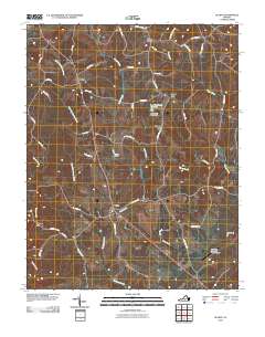
2010 Map of Gladys
USGS Topo · Published 2010About this map
The crossroads community of Gladys serves as a central hub for this portion of southern Campbell County, where the Piedmont landscape is defined by a dense network of creek valleys and rural transport routes. The hydrology of the region is notably complex, dominated by the winding courses of Mollys Creek, Suck Creek, and Whipping Creek, which converge as they drain the local watersheds. Water management for local use is evidenced by structures such as Grandview Lake Dam and the Farmer Dam, while historical milling operations are preserved in the naming of Mitchell Mill and various local thoroughfares. In the northern reaches, small settlements like Winfall and Three Forks mark traditional junctions near East Little Seneca Creek. The presence of the Brookneal-Campbell County Airport in the southeast indicates the integration of modern transportation infrastructure into this traditionally agrarian and forest-linked Virginia landscape.
Find a feature on this map
45 named features on this map. Tap any name to fly to it.
Don’t see what you’re looking for? This feature index may not catch every label — zoom into the map to look around manually.
Map Details
Editions of this 2010 Gladys Map
This is the sole edition of this map. No revisions or reprints were ever made.
Other maps of this area

1892 · Lynchburg
USGS Topo · 1:125,000

1892 · Appomattox
USGS Topo · 1:125,000

1944 · Lynchburg
USGS Topo · 1:62,500

1947 · Roanoke
USGS Topo · 1:250,000

1950 · Lynchburg
USGS Topo · 1:62,500

1956 · Brookneal
USGS Topo · 1:62,500

1956 · Gladys
USGS Topo · 1:62,500

1958 · Appomattox
USGS Topo · 1:62,500

1959 · Roanoke
USGS Topo · 1:250,000

1963 · Roanoke
USGS Topo · 1:250,000