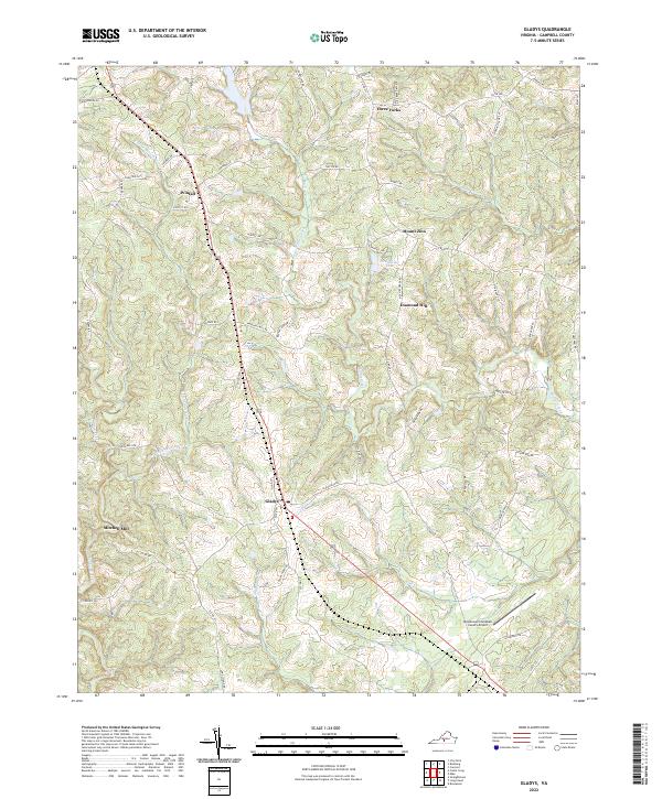
2022 Map of Gladys
USGS Topo · Published 2022About this map
Gladys serves as a central hub in this section of Campbell County, where rural life is defined by the winding paths of Little Seneca Cr and the drainage systems of Mollies Creek. The landscape is dotted with small named settlements such as Winfall and Three Forks, reflecting a community structure tied to early crossroads and local industry. To the west, Mitchell Mill points toward the historical reliance on water-powered milling along Seneca Creek, while the northeast is anchored by Mount Zion and Diamond Hill.
Find a feature on this map
69 named features on this map. Tap any name to fly to it.
Don’t see what you’re looking for? This feature index may not catch every label — zoom into the map to look around manually.
Map Details
Editions of this 2022 Gladys Map
This is the sole edition of this map. No revisions or reprints were ever made.
Other maps of this area

1892 · Lynchburg
USGS Topo · 1:125,000

1892 · Appomattox
USGS Topo · 1:125,000

1944 · Lynchburg
USGS Topo · 1:62,500

1947 · Roanoke
USGS Topo · 1:250,000

1950 · Lynchburg
USGS Topo · 1:62,500

1956 · Brookneal
USGS Topo · 1:62,500

1956 · Gladys
USGS Topo · 1:62,500

1958 · Appomattox
USGS Topo · 1:62,500

1959 · Roanoke
USGS Topo · 1:250,000

1963 · Roanoke
USGS Topo · 1:250,000