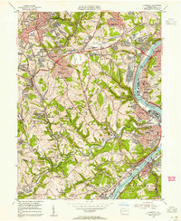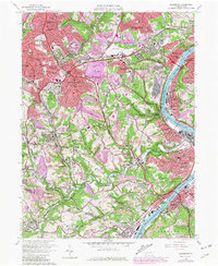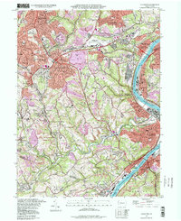
1988 Map of Glassport
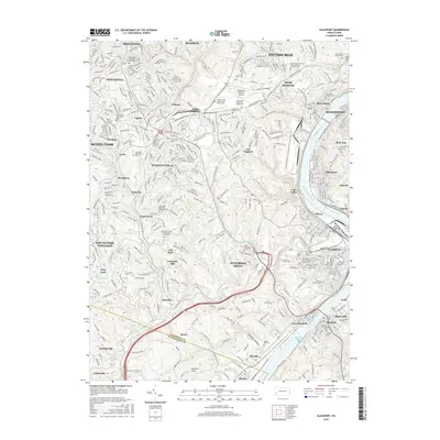
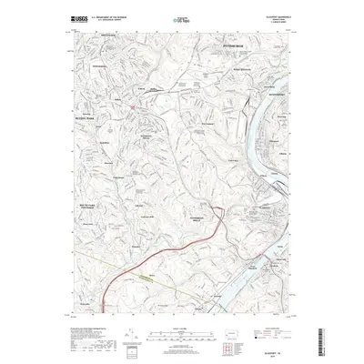
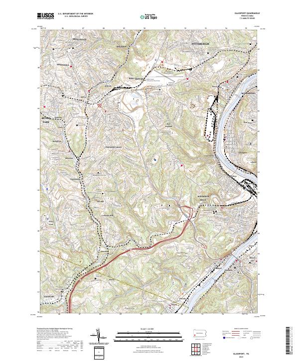
USGS Topo · Published 1998About this map
The Monongahela River carves a deep valley through this industrial and residential landscape south of Pittsburgh, defined by the legacy of steel manufacturing and river transport. Heavy industrial features like the Slag Dump sites near Dravosburg and Glassport sit alongside established suburban developments in Pleasant Hills and Brentwood. The Pittsburgh and Lake Erie RR traces the riverbank, supporting the transit of materials through Clairton and West Elizabeth, while the Allegheny County Airport occupies a prominent plateau to the north.
Find a feature on this map
92 named features on this map. Tap any name to fly to it.
Don’t see what you’re looking for? This feature index may not catch every label — zoom into the map to look around manually.
Map Details
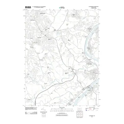
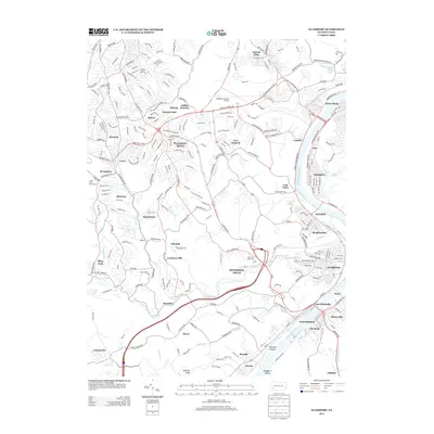
Editions of this 1988 Glassport Map
This is the sole edition of this map. No revisions or reprints were ever made.
Historical Maps of Pittsburgh Through Time
8 maps found