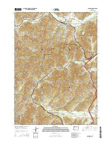
2014 Map of Glendale
USGS Topo · Published 2014About this map
Glendale and the surrounding timber and transit corridor of the Douglas Co and Josephine Co border are detailed in this 2014 survey. The landscape is defined by its deep relationship with the logging industry, as evidenced by several specialized water bodies including the Twin Harbor Log Pond, Superior Log Pond, and Dollar Log Ponds near the main town. These features, along with the Mill Cr Reservoir, underscore the industrial water management necessary for regional timber operations.
Find a feature on this map
98 named features on this map. Tap any name to fly to it.
Don’t see what you’re looking for? This feature index may not catch every label — zoom into the map to look around manually.
Map Details
Editions of this 2014 Glendale Map
This is the sole edition of this map. No revisions or reprints were ever made.
Other maps of this area

1904 · Riddle
USGS Topo · 1:125,000

1946 · Galice
USGS Topo · 1:62,500

1946 · Dutchman Butte
USGS Topo · 1:62,500

1948 · Galice
USGS Topo · 1:62,500

1948 · Dutchman Butte
USGS Topo · 1:62,500

1954 · Glendale
USGS Topo · 1:62,500

1954 · Canyonville
USGS Topo · 1:62,500

1955 · Medford
USGS Topo · 1:250,000

1957 · Medford
USGS Topo · 1:250,000

1958 · Medford
USGS Topo · 1:250,000