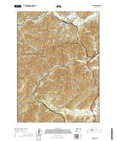
2020 Map of Glendale
USGS Topo · Published 2020About this map
Glendale serves as the primary hub in this southern Oregon mountain landscape, situated where Cow Creek and Windy Creek meet. The map reveals a town heavily shaped by timber and water management, featuring industrial markers like the Dollar Log Ponds and the Twin Harbor Log Pond. Just south, Wolf Creek and Leland follow the rail and road corridors that cut through the steep gulches of the Josephine and Douglas county line.
Find a feature on this map
94 named features on this map. Tap any name to fly to it.
Don’t see what you’re looking for? This feature index may not catch every label — zoom into the map to look around manually.
Map Details
Editions of this 2020 Glendale Map
This is the sole edition of this map. No revisions or reprints were ever made.
Other maps of this area
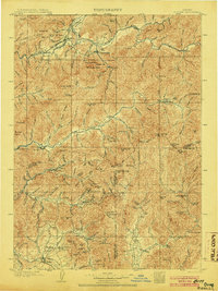
1904 · Riddle
USGS Topo · 1:125,000
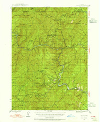
1946 · Galice
USGS Topo · 1:62,500
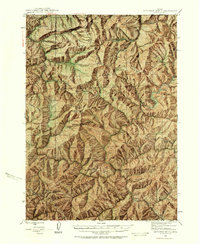
1946 · Dutchman Butte
USGS Topo · 1:62,500
1948 · Galice
USGS Topo · 1:62,500
1948 · Dutchman Butte
USGS Topo · 1:62,500
1954 · Glendale
USGS Topo · 1:62,500
1954 · Canyonville
USGS Topo · 1:62,500

1955 · Medford
USGS Topo · 1:250,000
1957 · Medford
USGS Topo · 1:250,000
1958 · Medford
USGS Topo · 1:250,000