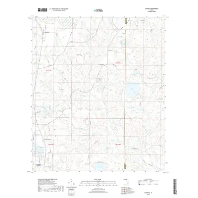
2018 Map of Glendale
USGS Topo · Published 2018About this map
The settlement of Glendale and the rural surroundings of northern Walton County define this landscape, where the headwaters of numerous creeks and branches drain toward the Choctawhatchee River basin. This area is characterized by an abundance of natural ponds and small lakes, including the distinctive Lake Cassidy, Blue Pond, and Half Moon Lake. The presence of Spring Lake Number One and Spring Lake Number Two suggests the hydrologic importance of the region's underlying aquifer. For those tracing local history, the map identifies small family burial sites such as Ray Cem and Smith Cem, which remain as quiet landmarks in the piney woods. The road network connects established communities like Pleasant Grove to the northern outskirts of De Funiak Springs, featuring evocative routes such as the Old Spanish Trl and the more modern World War II Veteran Rd.
Find a feature on this map
100 named features on this map. Tap any name to fly to it.
Don’t see what you’re looking for? This feature index may not catch every label — zoom into the map to look around manually.
Map Details
Editions of this 2018 Glendale Map
This is the sole edition of this map. No revisions or reprints were ever made.
Other maps of this area
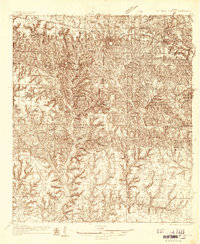
1935 · De Funiak Springs
USGS Topo · 1:48,000
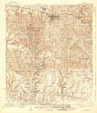
1938 · De Funiak Springs
USGS Topo · 1:62,500
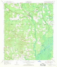
1948 · Ponce De Leon
USGS Topo · 1:24,000
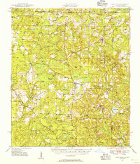
1949 · Glendale
USGS Topo · 1:62,500
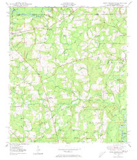
1949 · Hobbs Crossroads
USGS Topo · 1:24,000
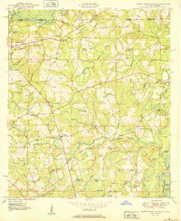
1950 · Hobbs Cross Roads
USGS Topo · 1:24,000
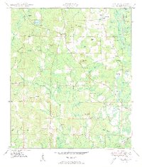
1950 · Prosperity
USGS Topo · 1:24,000
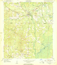
1950 · Ponce De Leon
USGS Topo · 1:24,000
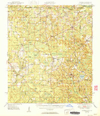
1951 · Glendale
USGS Topo · 1:62,500
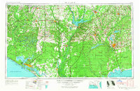
1954 · Tallahassee
USGS Topo · 1:250,000