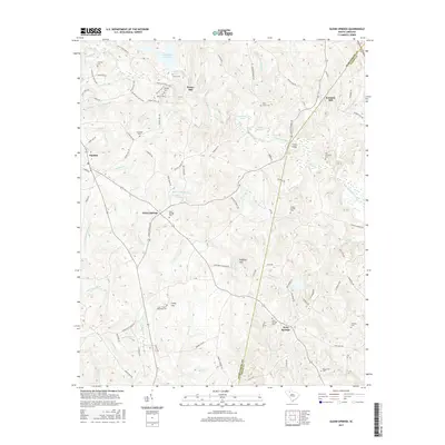
2017 Map of Glenn Springs
USGS Topo · Published 2017About this map
Glenn Springs and the surrounding Upstate countryside are defined by a complex network of creeks and small family settlements. This landscape in the late 2010s reveals a deep-rooted history, where modern roads like the W Springs Hwy intersect with older landmarks such as Kennedy Mill and Tinsley Bridge. The terrain is punctuated by Wofford Mtn and Browns Valley, with numerous small cemeteries like the Frye - Smith Whiteside Cem and Bogansville Cem providing essential markers for genealogical research. The hydrography of the region is particularly dense, with Fairforest Creek and its many tributaries, including Mineral Spring Br and Stillhouse Br, carving through the Piedmont. This survey provides a precise look at how established rural communities like West Springs and Pauline persist alongside protected natural features like Lake Edwin Johnson.
Find a feature on this map
104 named features on this map. Tap any name to fly to it.
Don’t see what you’re looking for? This feature index may not catch every label — zoom into the map to look around manually.
Map Details
Editions of this 2017 Glenn Springs Map
This is the sole edition of this map. No revisions or reprints were ever made.
Other maps of this area

1941 · Spartanburg
USGS Topo · 1:250,000

1947 · Spartanburg
USGS Topo · 1:62,500

1949 · Spartanburg
USGS Topo · 1:24,000

1949 · Spartanburg
USGS Topo · 1:62,500

1953 · Spartanburg
USGS Topo · 1:250,000

1960 · Spartanburg
USGS Topo · 1:250,000

1963 · Spartanburg
USGS Topo · 1:250,000

1964 · Spartanburg
USGS Topo · 1:250,000

1969 · Cross Anchor
USGS Topo · 1:24,000
1969 · Pacolet Mills
USGS Topo · 1:24,000