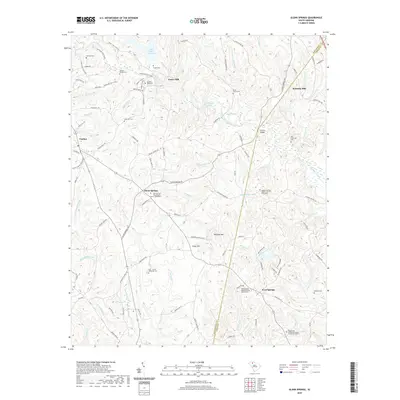
2020 Map of Glenn Springs
USGS Topo · Published 2020About this map
Fairforest Creek and its many tributaries carve through the Piedmont landscape of Spartanburg and Union Counties, anchoring a region defined by its long-standing rural communities and family legacies. The area is dotted with historic burial grounds and mill sites that speak to a deep genealogical heritage, including the Oeland Family Cem and the multi-family Frye - Smith - Whiteside Cem. Traditional centers of life such as Glenn Springs and West Springs remain focal points, their history preserved in sites like the Glen Springs Presbyterian Church Graveyard.
Find a feature on this map
113 named features on this map. Tap any name to fly to it.
Don’t see what you’re looking for? This feature index may not catch every label — zoom into the map to look around manually.
Map Details
Editions of this 2020 Glenn Springs Map
This is the sole edition of this map. No revisions or reprints were ever made.
Other maps of this area

1941 · Spartanburg
USGS Topo · 1:250,000

1947 · Spartanburg
USGS Topo · 1:62,500

1949 · Spartanburg
USGS Topo · 1:24,000

1949 · Spartanburg
USGS Topo · 1:62,500

1953 · Spartanburg
USGS Topo · 1:250,000

1960 · Spartanburg
USGS Topo · 1:250,000

1963 · Spartanburg
USGS Topo · 1:250,000

1964 · Spartanburg
USGS Topo · 1:250,000

1969 · Cross Anchor
USGS Topo · 1:24,000
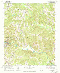
1969 · Pacolet Mills
USGS Topo · 1:24,000