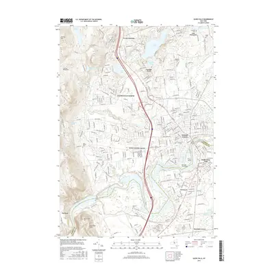
2016 Map of Glens Falls
USGS Topo · Published 2016About this map
Glens Falls and its surrounding communities are defined by the sharp arc of the Hudson River as it passes Big Bend and drops toward Pruyns Island. This landscape is marked by the industrial and transport heritage of the Glens Falls Feeder Canal and the complex infrastructure of reservoirs such as the Keenan Intake Reservoir and Wilkie Intake Reservoir. The area shows a dense network of neighborhoods and cemeteries, reflecting generations of growth from South Glens Falls to Glens Falls North.
Find a feature on this map
265 named features on this map. Tap any name to fly to it.
Don’t see what you’re looking for? This feature index may not catch every label — zoom into the map to look around manually.
Map Details
Editions of this 2016 Glens Falls Map
This is the sole edition of this map. No revisions or reprints were ever made.
Other maps of this area

1895 · Glens Falls
USGS Topo · 1:62,500

1897 · Glens Falls
USGS Topo · 1:62,500

1900 · Schuylerville
USGS Topo · 1:62,500

1902 · Saratoga
USGS Topo · 1:62,500

1903 · Luzerne
USGS Topo · 1:62,500

1935 · Gansevoort
USGS Topo · 1:24,000
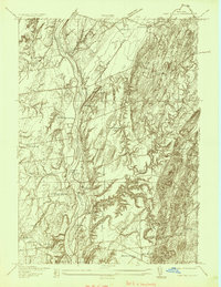
1935 · Fort Miller
USGS Topo · 1:24,000

1935 · Corinth
USGS Topo · 1:24,000

1938 · Glens Falls
USGS Topo · 1:62,500
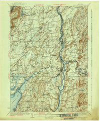
1940 · Schuylerville
USGS Topo · 1:62,500