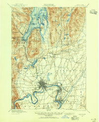
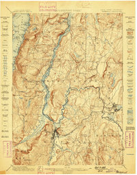
1895 Map of Glens Falls
USGS Topo · Published 1955About this map
Glens Falls and the upper reaches of the Hudson River anchor this late 19th-century landscape, where industrial progress meets the burgeoning resort culture of Lake George. The map captures a pivotal moment of transition, showing the bustling river settlements of South Glens Falls and Hudson Falls downstream from the Feeder Dam, while the northern reaches remain dominated by topographical landmarks like French Mountain and Sugar Loaf. Military history is deeply embedded in the terrain, with the Fort William Henry Ruins, Fort George Ruins, and Fort Gage Ruins positioned strategically at the southern foot of the lake. Local commerce is evident in the cluster of small industrial hubs such as Griswolds Mills and Pattens Mills, while the Delaware and Hudson RR provides the essential transit link between the timber-rich highlands and the river valleys. The intricate shoreline of Lake George is already dotted with early retreats like Prospect House and Katskill Bay, signaling the area's emerging identity as a premier recreational destination.
Find a feature on this map
102 named features on this map. Tap any name to fly to it.
Don’t see what you’re looking for? This feature index may not catch every label — zoom into the map to look around manually.
Map Details
Editions of this 1895 Glens Falls Map
This is the sole edition of this map. No revisions or reprints were ever made.
Other maps of this area

1893 · Fort Ann
USGS Topo · 1:62,500
1893 · Whitehall
USGS Topo · 1:62,500
1895 · Whitehall
USGS Topo · 1:62,500
1895 · North Creek
USGS Topo · 1:62,500
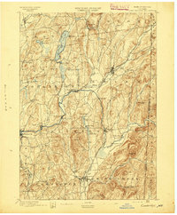
1895 · Cambridge
USGS Topo · 1:62,500

1895 · Fort Ann
USGS Topo · 1:62,500
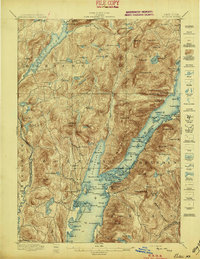
1897 · Bolton
USGS Topo · 1:62,500
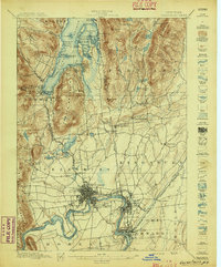
1897 · Glens Falls
USGS Topo · 1:62,500
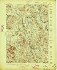
1897 · North Creek
USGS Topo · 1:62,500
1898 · Whitehall
USGS Topo · 1:62,500