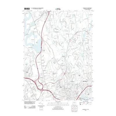
2012 Map of Glenville
USGS Topo · Published 2012About this map
The suburban and residential character of the Connecticut and New York border is defined by a dense network of estates, academic institutions, and protected parklands. Spanning the boundary between Greenwich and Rye Brook, the landscape transition from the established coastal settlements near Byram to the inland ridges. Significant educational campuses occupy large tracts of land, including Manhattanville College and Purchase College State University of New York, reflecting the mid-century institutional expansion in the region.
Find a feature on this map
312 named features on this map. Tap any name to fly to it.
Don’t see what you’re looking for? This feature index may not catch every label — zoom into the map to look around manually.
Map Details
Editions of this 2012 Glenville Map
This is the sole edition of this map. No revisions or reprints were ever made.
Other maps of this area

1891 · Harlem
USGS Topo · 1:62,500

1892 · Stamford
USGS Topo · 1:62,500

1892 · Tarrytown
USGS Topo · 1:62,500

1893 · Stamford
USGS Topo · 1:62,500

1893 · Tarrytown
USGS Topo · 1:62,500

1897 · Harlem
USGS Topo · 1:62,500

1897 · Oyster Bay
USGS Topo · 1:62,500

1898 · Harlem
USGS Topo · 1:62,500

1898 · Oyster Bay
USGS Topo · 1:62,500

1899 · Stamford
USGS Topo · 1:62,500