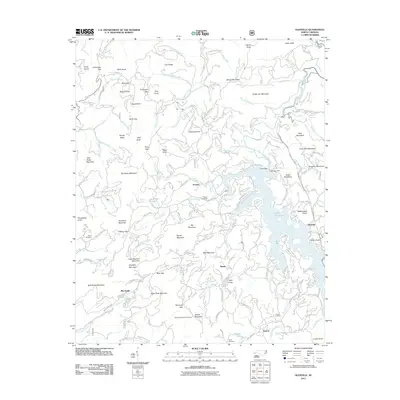
2011 Map of Glenville
USGS Topo · Published 2011About this map
Lake Glenville dominates the eastern landscape, a significant reservoir formed by the Thorpe Dam and Glenville Dam on the West Fork Tuckasegee River. This mountain terrain is characterized by a dense network of gaps and knobs, including Hamburg Gap and Yellow Mountain, where the Yellow Mountain Fire Tower stands as a prominent landmark. Small settlements like Erastus, Bessie, and Shookville are scattered across the high elevations, connected by narrow mountain roads and forest trails. Family history is anchored in several burial grounds, such as Strain Cemetery and Norton Cemetery, which remain preserved amidst the rugged topography. The mapping of the area reflects a landscape where hydroelectric infrastructure and traditional mountain communities coexist, with drainage systems like Pine Creek and Mill Creek carving paths through the high ridgelines.
Find a feature on this map
156 named features on this map. Tap any name to fly to it.
Don’t see what you’re looking for? This feature index may not catch every label — zoom into the map to look around manually.
Map Details
Editions of this 2011 Glenville Map
This is the sole edition of this map. No revisions or reprints were ever made.
Other maps of this area

1891 · Cowee
USGS Topo · 1:125,000

1897 · Cowee
USGS Topo · 1:125,000

1907 · Cowee
USGS Topo · 1:125,000

1933 · Bryson
USGS Topo · 1:62,500

1935 · Cashiers
USGS Topo · 1:24,000

1935 · Tuckaseigee
USGS Topo · 1:24,000

1935 · Cullowhee
USGS Topo · 1:24,000

1935 · Scaly
USGS Topo · 1:24,000

1935 · Glenville
USGS Topo · 1:24,000

1935 · Corbin Knob
USGS Topo · 1:24,000