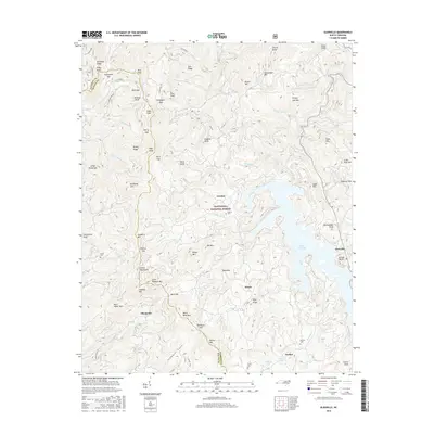
2016 Map of Glenville
USGS Topo · Published 2016About this map
Lake Glenville sits at the heart of this mountain landscape, its branching fingers reaching into the surrounding ridges of the Nantahala National Forest. The map documents the high-elevation terrain of the Cowee Mountains and several smaller settlements that define the local geography, including Erastus, Glenville, and Bessie. Water is the dominant force here, with numerous waterfalls such as Thurston Hatcher Falls, Onion Falls, and High Falls tucked away in the deep drainages of Coggins Cr and Rough Run.
Find a feature on this map
95 named features on this map. Tap any name to fly to it.
Don’t see what you’re looking for? This feature index may not catch every label — zoom into the map to look around manually.
Map Details
Editions of this 2016 Glenville Map
This is the sole edition of this map. No revisions or reprints were ever made.
Other maps of this area

1891 · Cowee
USGS Topo · 1:125,000

1897 · Cowee
USGS Topo · 1:125,000

1907 · Cowee
USGS Topo · 1:125,000

1933 · Bryson
USGS Topo · 1:62,500

1935 · Cashiers
USGS Topo · 1:24,000

1935 · Tuckaseigee
USGS Topo · 1:24,000

1935 · Cullowhee
USGS Topo · 1:24,000

1935 · Scaly
USGS Topo · 1:24,000

1935 · Glenville
USGS Topo · 1:24,000

1935 · Corbin Knob
USGS Topo · 1:24,000