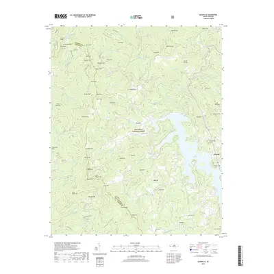
2019 Map of Glenville
USGS Topo · Published 2019About this map
Nantahala National Forest dominates the terrain of this Jackson County and Macon County borderland, where the waters of the West Fork Buck Creek and Pine Cr carve through high ridges. The landscape is defined by the significant presence of Lake Glenville, a major high-altitude reservoir that provides a dramatic contrast to the surrounding Cowee Mountains. Small, historically-rooted settlements such as Erastus, Norton, and Shookville are scattered across the valley floors and gaps, often associated with family burial grounds like the Strain Cem and Norton Cem. The intricate network of peaks including Yellow Mtn, Old Rocky Mtn, and Snowbird Mtn highlights the difficulty of movement in this portion of the Blue Ridge, where modern routes like Highway 107 follow the natural contours between the mountain ranges and the lakeshore.
Find a feature on this map
108 named features on this map. Tap any name to fly to it.
Don’t see what you’re looking for? This feature index may not catch every label — zoom into the map to look around manually.
Map Details
Editions of this 2019 Glenville Map
This is the sole edition of this map. No revisions or reprints were ever made.
Other maps of this area

1891 · Cowee
USGS Topo · 1:125,000

1897 · Cowee
USGS Topo · 1:125,000

1907 · Cowee
USGS Topo · 1:125,000

1933 · Bryson
USGS Topo · 1:62,500

1935 · Cashiers
USGS Topo · 1:24,000

1935 · Tuckaseigee
USGS Topo · 1:24,000

1935 · Cullowhee
USGS Topo · 1:24,000

1935 · Scaly
USGS Topo · 1:24,000

1935 · Glenville
USGS Topo · 1:24,000

1935 · Corbin Knob
USGS Topo · 1:24,000