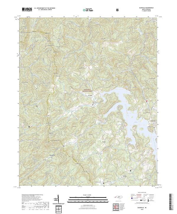
2022 Map of Glenville
USGS Topo · Published 2022About this map
Lake Glenville dominates the eastern landscape of this mountain survey, fed by the West Fork Tuckasegee River and numerous smaller creeks like Norton Creek and Pine Cr. The terrain is defined by the high elevations of the Cowee Mountains and the sprawling Nantahala National Forest, where the settlement patterns follow the winding mountain roads and narrow valleys. Smaller communities like Erastus, Bessie, and Shookville are scattered across the high ground between Yellow Mtn and Snowbird Mtn.
Find a feature on this map
104 named features on this map. Tap any name to fly to it.
Don’t see what you’re looking for? This feature index may not catch every label — zoom into the map to look around manually.
Map Details
Editions of this 2022 Glenville Map
This is the sole edition of this map. No revisions or reprints were ever made.
Other maps of this area

1891 · Cowee
USGS Topo · 1:125,000

1897 · Cowee
USGS Topo · 1:125,000

1907 · Cowee
USGS Topo · 1:125,000

1933 · Bryson
USGS Topo · 1:62,500

1935 · Cashiers
USGS Topo · 1:24,000

1935 · Tuckaseigee
USGS Topo · 1:24,000

1935 · Cullowhee
USGS Topo · 1:24,000

1935 · Scaly
USGS Topo · 1:24,000

1935 · Glenville
USGS Topo · 1:24,000

1935 · Corbin Knob
USGS Topo · 1:24,000